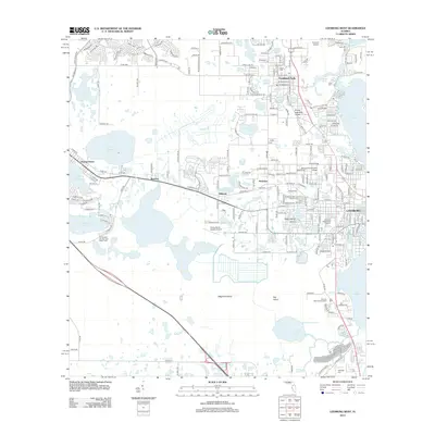
2012 Map of Leesburg West
USGS Topo · Published 2012About this map
Leesburg and Fruitland Park serve as the primary hubs in this central Florida landscape, where a dense network of water bodies defines the local geography. The map illustrates a high concentration of cemeteries, such as Shiloh Cem, Lone Oak Cem, and Evergreen Memorial Gardens Cem, which provide significant points of interest for genealogical research. Smaller communities like Whitney, Montclair, and Bamboo are situated along key transport corridors, including the path of the railroad and numerous county roads like Co RD 466a.
Find a feature on this map
59 named features on this map. Tap any name to fly to it.
Don’t see what you’re looking for? This feature index may not catch every label — zoom into the map to look around manually.
Map Details
Editions of this 2012 Leesburg West Map
This is the sole edition of this map. No revisions or reprints were ever made.
Other maps of this area

1893 · Panasoffkee
USGS Topo · 1:62,500

1895 · Panasoffkee
USGS Topo · 1:62,500

1955 · Plant City
USGS Topo · 1:250,000

1955 · Orlando
USGS Topo · 1:250,000

1957 · Orlando
USGS Topo · 1:250,000

1958 · Orlando
USGS Topo · 1:250,000

1958 · Plant City
USGS Topo · 1:250,000

1958 · Bushnell
USGS Topo · 1:24,000

1959 · Plant City
USGS Topo · 1:250,000

1962 · Orlando
USGS Topo · 1:250,000