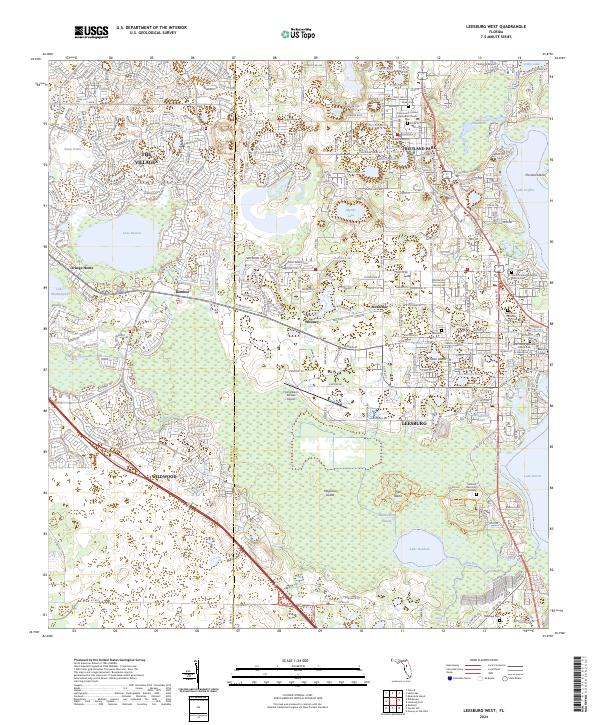
2024 Map of Leesburg West
USGS Topo · Published 2024About this map
Leesburg and Fruitland Park anchor the eastern half of this Lake County landscape, where the developed streets of The Villages meet the expansive wetlands of the Okahumpka Swamp. This modern survey reveals a complex interface between residential growth and the regional hydrology, centered on significant water bodies like Lake Deaton, Lake Okahumpka, and Lake Denham. For local history and genealogy, the map provides precise locations for several established burial grounds, including Lone Oak Cem and Shiloh Cem, alongside institutional landmarks like Beacon College. The western edge shows the transition into Sumter County near Wildwood, with the corridor between Whitney and Bamboo illustrating the ongoing expansion of transportation and aviation infrastructure, such as the Flying Baron Estates Airport.
Find a feature on this map
65 named features on this map. Tap any name to fly to it.
Don’t see what you’re looking for? This feature index may not catch every label — zoom into the map to look around manually.
Map Details
Editions of this 2024 Leesburg West Map
This is the sole edition of this map. No revisions or reprints were ever made.
Other maps of this area

1893 · Panasoffkee
USGS Topo · 1:62,500

1895 · Panasoffkee
USGS Topo · 1:62,500

1955 · Plant City
USGS Topo · 1:250,000

1955 · Orlando
USGS Topo · 1:250,000

1957 · Orlando
USGS Topo · 1:250,000

1958 · Orlando
USGS Topo · 1:250,000

1958 · Plant City
USGS Topo · 1:250,000

1958 · Bushnell
USGS Topo · 1:24,000

1959 · Plant City
USGS Topo · 1:250,000

1962 · Orlando
USGS Topo · 1:250,000