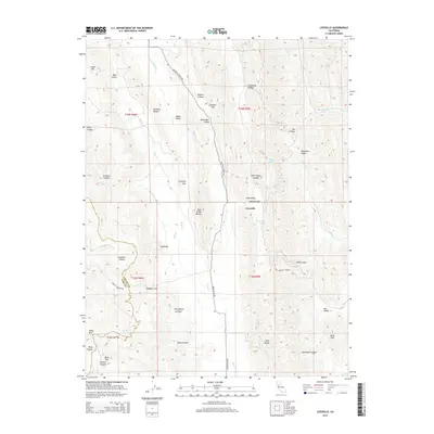
2015 Map of Leesville
USGS Topo · Published 2015About this map
Leesville sits at the eastern edge of a transition between the Colusa County and Lake County line, marking a landscape defined by significant elevation changes and deep drainage networks. The settlement is anchored by the intersection of Leesville Lodoga Rd and Bear Valley Rd, serving as a central point for the surrounding cattle country and upland valleys. The terrain is notably pocketed with flats and named springs, such as Skinnerville Spring and Adobe Spring, which provided essential water sources in this arid part of the California Coast Ranges.
Find a feature on this map
53 named features on this map. Tap any name to fly to it.
Don’t see what you’re looking for? This feature index may not catch every label — zoom into the map to look around manually.
Map Details
Editions of this 2015 Leesville Map
This is the sole edition of this map. No revisions or reprints were ever made.
Other maps of this area

1904 · Sites
USGS Topo · 1:24,000

1905 · Fairview
USGS Topo · 1:24,000

1917 · Sites
USGS Topo · 1:31,680

1920 · Venado
USGS Topo · 1:62,500

1924 · Bartlett Springs
USGS Topo · 1:62,500

1942 · Bartlett Springs
USGS Topo · 1:62,500

1943 · Lodoga
USGS Topo · 1:62,500

1944 · Bartlett Springs
USGS Topo · 1:62,500

1944 · Wilbur Springs
USGS Topo · 1:62,500

1951 · Stonyford
USGS Topo · 1:62,500