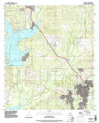
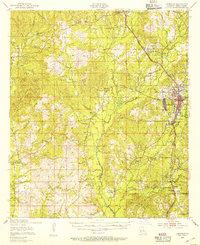
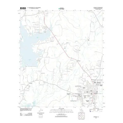
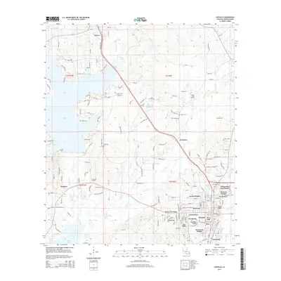
1994 Map of Leesville
USGS Topo · Published 1997About this map
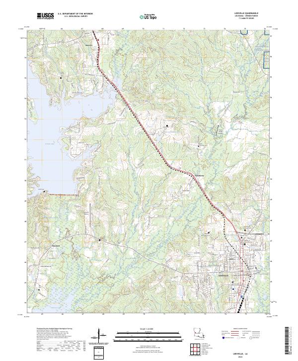
Leesville serves as the focal point of this Vernon Parish landscape, where the Kansas City Southern railroad cuts a diagonal path through the piney woods of west-central Louisiana. The 1990s terrain is defined by its complex hydrology, dominated by the sprawling reaches of Vernon Lake and Anacoco Lake, which are fed by a network of waterways including Bayou Anacoco and East Anacoco Creek.
Find a feature on this map
28 named features on this map. Tap any name to fly to it.
Don’t see what you’re looking for? This feature index may not catch every label — zoom into the map to look around manually.
Map Details
Editions of this 1994 Leesville Map
This is the sole edition of this map. No revisions or reprints were ever made.
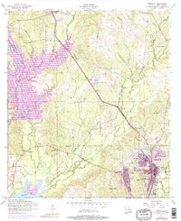
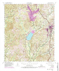
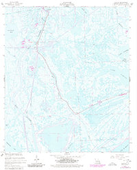
Historical Maps of Leesville Through Time
14 maps found
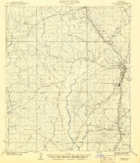
1941 Leesville
Vernon Parish, LA
1943 Leesville
Vernon Parish, LA
1946 Leesville
Vernon Parish, LA
1948 Leesville
Vernon Parish, LA
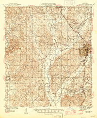
1954 Leesville
Vernon Parish, LA
1954 Leesville
Vernon Parish, LA
1957 Leesville
Vernon Parish, LA

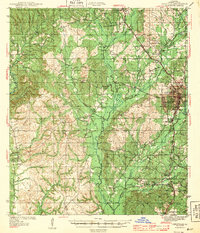
1986 Leesville
Vernon Parish, LA
1994 Leesville
Vernon Parish, LA
2012 Leesville
Vernon Parish, LA
2015 Leesville
Vernon Parish, LA
2018 Leesville
Vernon Parish, LA
2020 Leesville
Vernon Parish, LA
2024 Leesville
Vernon Parish, LA