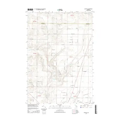
2014 Map of Leetsville
USGS Topo · Published 2014About this map
The Rapid River and its tributary, the Little Rapid River, anchor the landscape of this northern Michigan quadrangle at the border of Antrim and Kalkaska counties. The settlement of Leetsville serves as a primary point of reference along the north-south transport corridor, situated near several small water bodies including Log Lake and Bird Lake. The presence of Rugg Pond and Barnard Lake suggests a glacial topography typical of the region, while rural burial grounds like Westwood Cem and Maplegrove Cem provide critical touchpoints for local genealogical research. In the northern sections, drainage systems such as Spencer Cr and Finch Cr feed into Mayville Lake, illustrating the complex hydrological network that defines the area's natural character and historical land use patterns.
Find a feature on this map
109 named features on this map. Tap any name to fly to it.
Don’t see what you’re looking for? This feature index may not catch every label — zoom into the map to look around manually.
Map Details
Editions of this 2014 Leetsville Map
This is the sole edition of this map. No revisions or reprints were ever made.
Other maps of this area

1954 · Traverse City
USGS Topo · 1:250,000

1956 · Mancelona
USGS Topo · 1:62,500

1956 · Kalkaska
USGS Topo · 1:62,500

1956 · Fife Lake
USGS Topo · 1:62,500

1957 · Elk Rapids
USGS Topo · 1:62,500

1958 · Traverse City
USGS Topo · 1:250,000

1975 · Mancelona NE
USGS Topo · 1:24,000

1975 · Mancelona NW
USGS Topo · 1:24,000

1983 · Traverse City
USGS Topo · 1:100,000
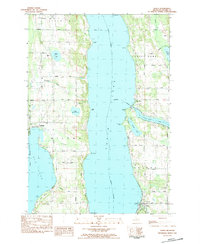
1983 · Alden
USGS Topo · 1:24,000