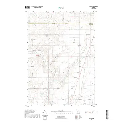
2019 Map of Leetsville
USGS Topo · Published 2019About this map
The Rapid River and its tributary, the Little Rapid River, dominate this northern Michigan landscape as they flow toward the community of Kalkaska. The area exhibits a mix of rural settlement and recreational geography, anchored by the hamlet of Leetsville. This 2019 survey documents the enduring presence of local landmarks such as Rugg Pond and Barnard Lake, alongside a dense network of logging roads and trails like the Rickgers Logging Trl that speak to the region's timber history.
Find a feature on this map
70 named features on this map. Tap any name to fly to it.
Don’t see what you’re looking for? This feature index may not catch every label — zoom into the map to look around manually.
Map Details
Editions of this 2019 Leetsville Map
This is the sole edition of this map. No revisions or reprints were ever made.
Other maps of this area

1954 · Traverse City
USGS Topo · 1:250,000

1956 · Mancelona
USGS Topo · 1:62,500

1956 · Kalkaska
USGS Topo · 1:62,500

1956 · Fife Lake
USGS Topo · 1:62,500

1957 · Elk Rapids
USGS Topo · 1:62,500

1958 · Traverse City
USGS Topo · 1:250,000

1975 · Mancelona NE
USGS Topo · 1:24,000

1975 · Mancelona NW
USGS Topo · 1:24,000

1983 · Traverse City
USGS Topo · 1:100,000
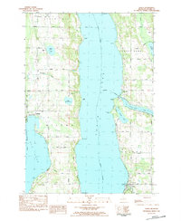
1983 · Alden
USGS Topo · 1:24,000