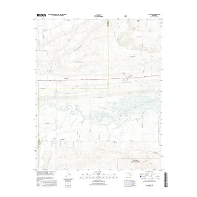
2016 Map of Leflore
USGS Topo · Published 2016About this map
Le Flore and Fanshawe anchor this portion of the Oklahoma landscape, situated along a transportation corridor that bisects the region east-to-west. The terrain is defined by the winding course of the Fourche Maline and numerous tributaries like Peach Cr and Baker Br that drain the undulating land south of Pigeon Mtn. The northern reaches include the community of Norris and the Hicks Chapel Cem, while the southern border extends into the protected timberlands of the Ouachita National Forest. This survey captures a rural environment where local history is preserved in sites such as LeFlore Cem and Fanshawe Cem, and where the boundary between Latimer and Le Flore counties marks the western edge of the map.
Find a feature on this map
43 named features on this map. Tap any name to fly to it.
Don’t see what you’re looking for? This feature index may not catch every label — zoom into the map to look around manually.
Map Details
Editions of this 2016 Leflore Map
This is the sole edition of this map. No revisions or reprints were ever made.
Other maps of this area

1900 · Sansbois
USGS Topo · 1:125,000

1900 · Sallisaw
USGS Topo · 1:125,000

1900 · Winding Stair
USGS Topo · 1:125,000

1901 · Tuskahoma
USGS Topo · 1:125,000

1908 · Tuskahoma
USGS Topo · 1:125,000

1909 · Tuskahoma
USGS Topo · 1:125,000

1909 · Winding Stair
USGS Topo · 1:125,000

1909 · Sans Bois
USGS Topo · 1:125,000

1911 · Sallisaw
USGS Topo · 1:125,000

1911 · Sansbois
USGS Topo · 1:125,000