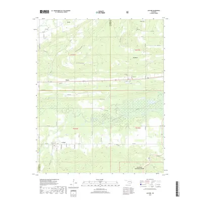
2018 Map of Leflore
USGS Topo · Published 2018About this map
The small town of Le Flore and the surrounding Choctaw Country terrain define this 2018 survey. Situated near the base of the Ouachita National Forest, the landscape is a mix of creek-fed valleys and rising slopes like Pigeon Mtn. Local history is anchored by several rural burying grounds, including Leflore Cem, Fanshawe Cem, and Hicks Chapel Cem. The drainage patterns of Fourche Maline and Brazil Cr illustrate the hydrological character of the region, while smaller settlements like Fanshawe, Hughes, and Norris dot the northern and central sections of the sheet. The map provides a contemporary record of road networks such as Cedar Creek Rd and Coal Creek Rd as they navigate the area's complex topography.
Find a feature on this map
67 named features on this map. Tap any name to fly to it.
Don’t see what you’re looking for? This feature index may not catch every label — zoom into the map to look around manually.
Map Details
Editions of this 2018 Leflore Map
This is the sole edition of this map. No revisions or reprints were ever made.
Other maps of this area

1900 · Sansbois
USGS Topo · 1:125,000

1900 · Sallisaw
USGS Topo · 1:125,000

1900 · Winding Stair
USGS Topo · 1:125,000

1901 · Tuskahoma
USGS Topo · 1:125,000

1908 · Tuskahoma
USGS Topo · 1:125,000

1909 · Tuskahoma
USGS Topo · 1:125,000

1909 · Winding Stair
USGS Topo · 1:125,000

1909 · Sans Bois
USGS Topo · 1:125,000

1911 · Sallisaw
USGS Topo · 1:125,000

1911 · Sansbois
USGS Topo · 1:125,000