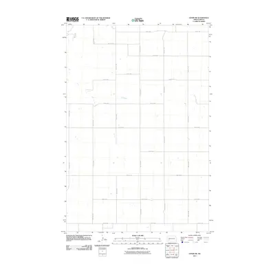
2011 Map of Lefor NW
USGS Topo · Published 2011About this map
Antelope Creek meanders through the northwest corner of this Stark County landscape, providing the primary hydrological feature in an otherwise strictly partitioned agricultural region. The terrain is defined by a rigid grid of section-line roads, reflecting the systematic land division of the Great Plains. Major north-south corridors like 109th Ave SW and 104th Ave SW intersect with east-west routes such as 46th St SW and 54th St SW, creating a geometric pattern of farm access. This 2011 survey illustrates the modern persistence of the township-and-range system, where the landscape is organized for large-scale ranching and wheat farming. The lack of concentrated settlements or named towns highlights the rural character of this portion of North Dakota, where isolated homesteads and open rangeland predominate.
Find a feature on this map
18 named features on this map. Tap any name to fly to it.
Don’t see what you’re looking for? This feature index may not catch every label — zoom into the map to look around manually.
Map Details
Editions of this 2011 Lefor NW Map
This is the sole edition of this map. No revisions or reprints were ever made.
Other maps of this area

1953 · Dickinson
USGS Topo · 1:250,000

1957 · Dickinson
USGS Topo · 1:250,000

1959 · Dickinson South
USGS Topo · 1:24,000

1959 · Lehigh
USGS Topo · 1:24,000

1973 · Lefor NW
USGS Topo · 1:24,000

1973 · Lefor
USGS Topo · 1:24,000

1973 · Gladstone
USGS Topo · 1:24,000

1973 · New England
USGS Topo · 1:24,000

1973 · Lefor SW
USGS Topo · 1:24,000

1973 · Stony Butte
USGS Topo · 1:24,000