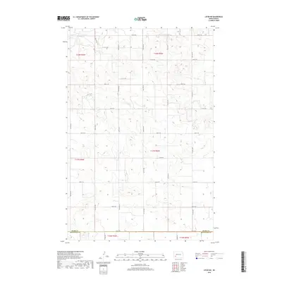
2018 Map of Lefor NW
USGS Topo · Published 2018About this map
Antelope Creek meanders through the northwest corner of this Stark County landscape, providing a rare water source in an area defined by its systematic section-line road network. The map reveals the rigid geometry of the Great Plains, where gravel and dirt roads like 109th Ave SW and 46th St SW carve out square-mile sections of agricultural land. Near the southern edge of the survey, the boundary between Stark County and Hettinger County runs along 54th St SW, marking the jurisdictional transition in this rural prairie environment. This 2018 survey detail provides a clear look at the contemporary land use patterns, showing the numerous small depressions and drainage contours that dictate the local topography between the major north-south arteries like 104th Ave SW.
Find a feature on this map
27 named features on this map. Tap any name to fly to it.
Don’t see what you’re looking for? This feature index may not catch every label — zoom into the map to look around manually.
Map Details
Editions of this 2018 Lefor NW Map
This is the sole edition of this map. No revisions or reprints were ever made.
Other maps of this area

1953 · Dickinson
USGS Topo · 1:250,000

1957 · Dickinson
USGS Topo · 1:250,000

1959 · Dickinson South
USGS Topo · 1:24,000

1959 · Lehigh
USGS Topo · 1:24,000

1973 · Lefor NW
USGS Topo · 1:24,000

1973 · Lefor
USGS Topo · 1:24,000

1973 · Gladstone
USGS Topo · 1:24,000

1973 · New England
USGS Topo · 1:24,000

1973 · Lefor SW
USGS Topo · 1:24,000

1973 · Stony Butte
USGS Topo · 1:24,000