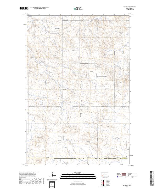
2024 Map of Lefor NW
USGS Topo · Published 2024About this map
The Stark Co and Hettinger Co boundary line divides this prairie landscape, where a precise grid of sections and roads organizes the open terrain. This 2024 survey captures the characteristic township and range layout of southwestern North Dakota, dominated by numbered corridors such as 110 Ave SW and 109th Ave SW. The survey provides a clear view of the rural infrastructure at the edge of the Badlands, where seasonal wetlands are scattered across a landscape shaped by drainage patterns like those near 54th St SW. Genealogy researchers can utilize the township markers, such as t137n r95w, to pinpoint specific family land claims and historical property boundaries in this section of the Great Plains.
Find a feature on this map
27 named features on this map. Tap any name to fly to it.
Don’t see what you’re looking for? This feature index may not catch every label — zoom into the map to look around manually.
Map Details
Editions of this 2024 Lefor NW Map
This is the sole edition of this map. No revisions or reprints were ever made.
Other maps of this area

1953 · Dickinson
USGS Topo · 1:250,000

1957 · Dickinson
USGS Topo · 1:250,000

1959 · Dickinson South
USGS Topo · 1:24,000

1959 · Lehigh
USGS Topo · 1:24,000

1973 · Lefor NW
USGS Topo · 1:24,000

1973 · Lefor
USGS Topo · 1:24,000

1973 · Gladstone
USGS Topo · 1:24,000

1973 · New England
USGS Topo · 1:24,000

1973 · Lefor SW
USGS Topo · 1:24,000

1973 · Stony Butte
USGS Topo · 1:24,000