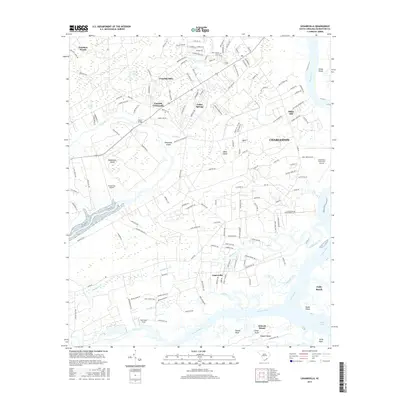
2017 Map of Legareville
USGS Topo · Published 2017About this map
Legareville and the surrounding Sea Islands appear here in a landscape defined by tidal creeks and sprawling marshes west of Charleston. This coastal area is a complex network of waterways, including the Stono River, Kiawah River, and the branching Abbapoola Creek. The settlement patterns on Johns Island and James Island are clearly visible, showing residential growth at Fenwick Hills and Cedar Springs alongside the critical transport hubs of Hondarosa Airport and Charleston Executive Airport.
Find a feature on this map
152 named features on this map. Tap any name to fly to it.
Don’t see what you’re looking for? This feature index may not catch every label — zoom into the map to look around manually.
Map Details
Editions of this 2017 Legareville Map
This is the sole edition of this map. No revisions or reprints were ever made.
Other maps of this area

1918 · Kiawah Island
USGS Topo · 1:21,120

1919 · Johns Island
USGS Topo · 1:21,120

1919 · Wadmelaw Island
USGS Topo · 1:62,500

1919 · Charleston
USGS Topo · 1:21,120

1919 · James Island
USGS Topo · 1:21,120

1919 · Legareville
USGS Topo · 1:21,120

1920 · Ravenels
USGS Topo · 1:62,500

1943 · Legareville
USGS Topo · 1:24,000

1943 · James Island
USGS Topo · 1:24,000

1943 · Kiawah Island
USGS Topo · 1:24,000