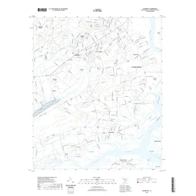
2020 Map of Legareville
USGS Topo · Published 2020About this map
Johns Island and its surrounding marshlands are defined by a complex network of tidal waterways and agricultural tradition as documented in this 2020 survey. The landscape is segmented by significant water bodies like the Kiawah River, Stono River, and the winding Abbapoola Creek, which carve through the low-lying terrain. Local development is concentrated in established communities such as Legareville, Fenwick Hills, and Cedar Springs, while the expansive Pluff Mud Field and Isinglass Swamp illustrate the persistent wetland character of the region.
Find a feature on this map
189 named features on this map. Tap any name to fly to it.
Don’t see what you’re looking for? This feature index may not catch every label — zoom into the map to look around manually.
Map Details
Editions of this 2020 Legareville Map
This is the sole edition of this map. No revisions or reprints were ever made.
Other maps of this area

1918 · Kiawah Island
USGS Topo · 1:21,120

1919 · Johns Island
USGS Topo · 1:21,120

1919 · Wadmelaw Island
USGS Topo · 1:62,500

1919 · Charleston
USGS Topo · 1:21,120

1919 · James Island
USGS Topo · 1:21,120

1919 · Legareville
USGS Topo · 1:21,120

1920 · Ravenels
USGS Topo · 1:62,500

1943 · Legareville
USGS Topo · 1:24,000

1943 · James Island
USGS Topo · 1:24,000

1943 · Kiawah Island
USGS Topo · 1:24,000