Loading...
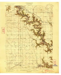
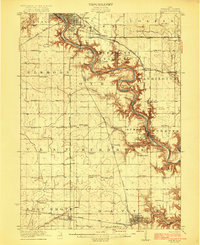
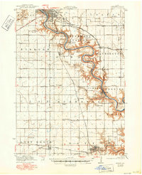
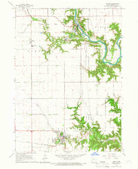
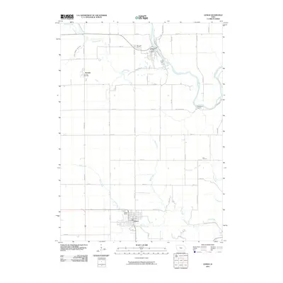
Loading map...1923 Map of Lehigh
USGS Topo · Published 1923About this map
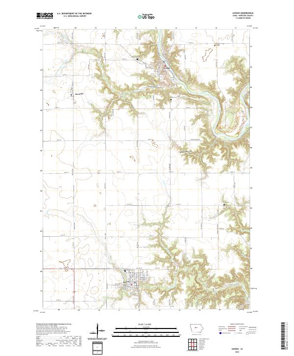
Des Moines River meanders deeply through Webster County, carving a narrow, wooded valley through the agricultural uplands. This 1923 survey captures the region's heavy industrial and rail footprint, particularly near the Clayworks and the coal mining interests around Coalville and Kalo. The landscape is a dense network of steam-era transportation, with the Illinois Central, Chicago Great Western, and Minneapolis and St Louis railroads converging near the southern edge of Fort Dodge.
Find a feature on this map
59 named features on this map. Tap any name to fly to it.
Don’t see what you’re looking for? This feature index may not catch every label — zoom into the map to look around manually.
Map Details
Date Portrayed1923
Date Published1923
PublisherU.S. Geological Survey
Map TypeTopographic
Scale1:62,500
Physical Dimensions17 x 20.9 inches
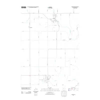
Editions of this 1923 Lehigh Map
3 editions found
Historical Maps of Fort Dodge Through Time
7 maps found
Featured Locations
- Fort Dodge, IA
- Lehigh, IA
- Coalville, Pleasant Valley Township
- Otho, Otho Township
- Dayton, Dayton Township
Source Details
SourceU.S. Geological Survey
CopyrightPublic Domain