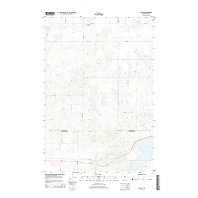
2014 Map of Lehr SW
USGS Topo · Published 2014About this map
Ebenezer Church and its accompanying Ebenezer Cem stand as the primary cultural landmarks in this rural landscape at the boundary of Logan and McIntosh Counties. The terrain is defined by a dense cluster of wetlands and small basins, with Doyles Lake in the northwest and Mud Lake in the southeast representing the largest named water bodies. This area of North Dakota is mapped with a rigid section-line road grid, including routes like 72nd St SE and 80th St SE, which provide access to the surrounding farmsteads and fields. The passage of Nd-13 across the southern portion of the quadrangle serves as the main east-west artery, skirting the edge of the wetlands and connecting the remote prairie homesteads to the wider region.
Find a feature on this map
15 named features on this map. Tap any name to fly to it.
Don’t see what you’re looking for? This feature index may not catch every label — zoom into the map to look around manually.
Map Details
Editions of this 2014 Lehr SW Map
This is the sole edition of this map. No revisions or reprints were ever made.
Other maps of this area

1953 · Jamestown
USGS Topo · 1:250,000

1956 · Jamestown
USGS Topo · 1:250,000

1982 · Danzig
USGS Topo · 1:24,000

1982 · Wishek NE
USGS Topo · 1:24,000

1982 · May Lake
USGS Topo · 1:24,000

1982 · Lehr NW
USGS Topo · 1:24,000

1982 · Lehr NE
USGS Topo · 1:24,000

1982 · Ashley NE
USGS Topo · 1:24,000

1982 · Lehr SW
USGS Topo · 1:24,000

1982 · Wishek
USGS Topo · 1:24,000