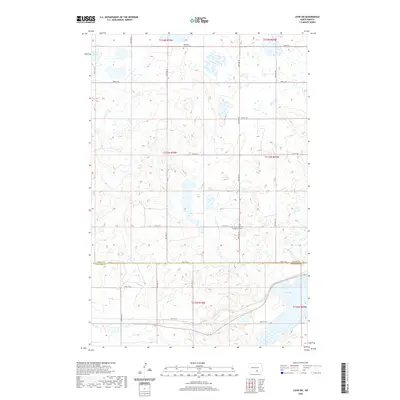
2020 Map of Lehr SW
USGS Topo · Published 2020About this map
The northern prairies of the Dakotas appear here as a glaciated landscape defined by numerous small wetlands and potholes. Saint Jacobs German Evangelical Cem and Ebenezer Church Cem serve as prominent cultural markers on the landscape, reflecting the heritage of the early German-speaking settlers who established homesteads in this region. The terrain is relatively open, structured by the Public Land Survey System grid and local roads like 72nd St SE and 80th St SE.
Find a feature on this map
21 named features on this map. Tap any name to fly to it.
Don’t see what you’re looking for? This feature index may not catch every label — zoom into the map to look around manually.
Map Details
Editions of this 2020 Lehr SW Map
This is the sole edition of this map. No revisions or reprints were ever made.
Other maps of this area

1953 · Jamestown
USGS Topo · 1:250,000

1956 · Jamestown
USGS Topo · 1:250,000

1982 · Danzig
USGS Topo · 1:24,000

1982 · Wishek NE
USGS Topo · 1:24,000

1982 · May Lake
USGS Topo · 1:24,000

1982 · Lehr NW
USGS Topo · 1:24,000

1982 · Lehr NE
USGS Topo · 1:24,000

1982 · Ashley NE
USGS Topo · 1:24,000

1982 · Lehr SW
USGS Topo · 1:24,000

1982 · Wishek
USGS Topo · 1:24,000