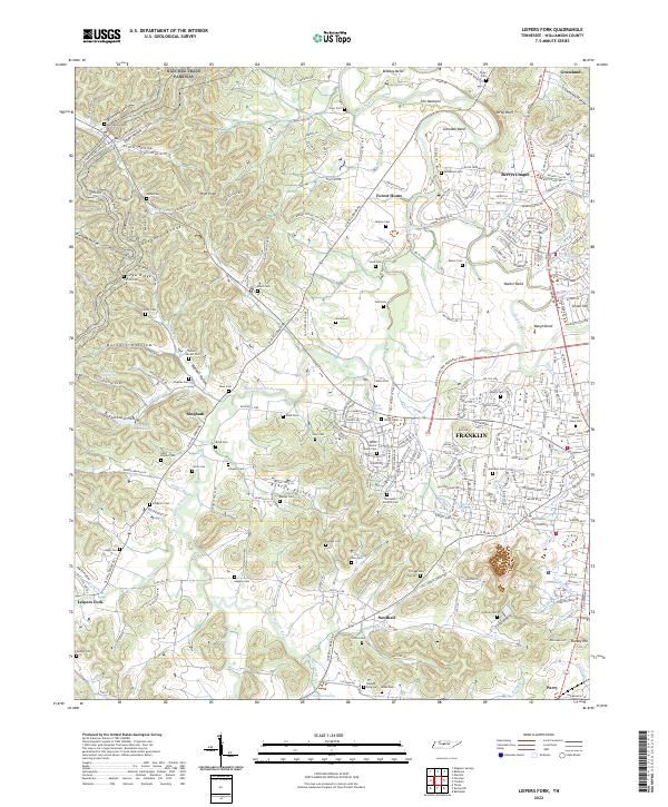
2022 Map of Leipers Fork
USGS Topo · Published 2022About this map
Boxley Valley and the winding course of the West Harpeth River define this rural portion of Williamson County, where family history is deeply etched into the landscape through dozens of small burial grounds. The map reveals an intricate network of pioneer-era lineage, preserving the locations of the Ashlin Moore Family Cem, Tucker Garrett Cem, and the Thompson-Shelton Cem. These sites, often located on private homesteads or tucked away in hollows like Burnett Hollow and Egypt Hollow, provide essential coordinates for genealogists tracing early Tennessee settlers.
Find a feature on this map
93 named features on this map. Tap any name to fly to it.
Don’t see what you’re looking for? This feature index may not catch every label — zoom into the map to look around manually.
Map Details
Editions of this 2022 Leipers Fork Map
This is the sole edition of this map. No revisions or reprints were ever made.
Other maps of this area

1901 · Colombia
USGS Topo · 1:125,000

1903 · Nashville
USGS Topo · 1:125,000

1909 · Franklin
USGS Topo · 1:62,500

1930 · White Bluff
USGS Topo · 1:62,500

1932 · Nashville
USGS Topo · 1:62,500

1933 · White Bluff
USGS Topo · 1:62,500

1936 · Spring Hill
USGS Topo · 1:24,000

1936 · Theta
USGS Topo · 1:24,000

1936 · Bethesda
USGS Topo · 1:24,000

1946 · Leipers Fork
USGS Topo · 1:24,000