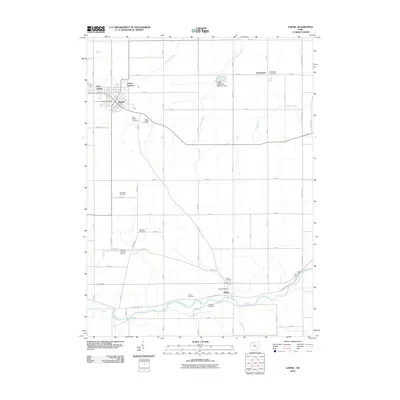
2010 Map of Leipsic
USGS Topo · Published 2010About this map
Leipsic serves as the primary hub of this northwestern Ohio landscape, situated near the intersection of several regional rail corridors at Leipsic Junction. The surrounding terrain in Putnam County is defined by a grid-like network of rural roads and the winding path of the Blanchard River to the south. Notable for its high density of family and community burial grounds, the area includes sites such as Saint Marys Cemetery, Sugar Ridge Cemetery, and the uniquely named Cholera Cemetery near the village of Gilboa.
Find a feature on this map
58 named features on this map. Tap any name to fly to it.
Don’t see what you’re looking for? This feature index may not catch every label — zoom into the map to look around manually.
Map Details
Editions of this 2010 Leipsic Map
This is the sole edition of this map. No revisions or reprints were ever made.
Other maps of this area

1906 · Columbus Grove
USGS Topo · 1:62,500

1907 · Bluffton
USGS Topo · 1:62,500

1908 · Columbus Grove
USGS Topo · 1:62,500

1908 · Ottawa
USGS Topo · 1:62,500

1950 · Marion
USGS Topo · 1:250,000

1953 · Fort Wayne
USGS Topo · 1:250,000

1953 · Muncie
USGS Topo · 1:250,000

1956 · Muncie
USGS Topo · 1:250,000

1956 · Fort Wayne
USGS Topo · 1:250,000

1956 · Toledo
USGS Topo · 1:250,000