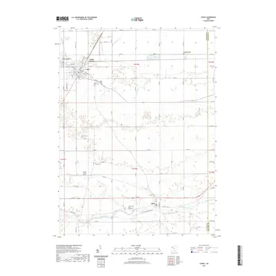
2019 Map of Leipsic
USGS Topo · Published 2019About this map
Leipsic stands as a central hub in this western Ohio landscape, where the confluence of rail lines and agricultural roads forms a dense grid of settlement. The geography is defined by the winding course of the Blanchard River and its various tributaries, including Dutch Run and Dukes Run. These watercourses carve through the flat terrain, creating a natural drainage system that supported the early development of the region.
Find a feature on this map
67 named features on this map. Tap any name to fly to it.
Don’t see what you’re looking for? This feature index may not catch every label — zoom into the map to look around manually.
Map Details
Editions of this 2019 Leipsic Map
This is the sole edition of this map. No revisions or reprints were ever made.
Other maps of this area

1906 · Columbus Grove
USGS Topo · 1:62,500

1907 · Bluffton
USGS Topo · 1:62,500

1908 · Columbus Grove
USGS Topo · 1:62,500

1908 · Ottawa
USGS Topo · 1:62,500

1950 · Marion
USGS Topo · 1:250,000

1953 · Fort Wayne
USGS Topo · 1:250,000

1953 · Muncie
USGS Topo · 1:250,000

1956 · Muncie
USGS Topo · 1:250,000

1956 · Fort Wayne
USGS Topo · 1:250,000

1956 · Toledo
USGS Topo · 1:250,000