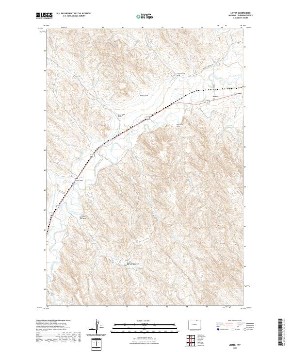
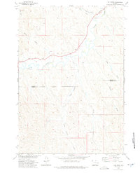
2021 Map of Leiter
USGS Topo · Published 2021About this map
Clear Creek carves its way through the Sheridan County landscape, providing the primary water source for this arid region where ranching and irrigation are the defining industries. The small settlement of Leiter sits at the junction of local roads, serving as a landmark in a terrain dominated by an intricate system of drainages and man-made water management. The Pratt and Ferris Ditch Number 3 illustrates the long-standing efforts to divert water from the creek to support agriculture, while Cadiz Reservoir provides essential storage. The geography is etched with deep coulees and draws, including the ominously named Dead Mans Draw and Big Corral Draw, reflecting the local history of livestock management. Historical transit is evident along the Black & Yellow Trl, a route that predates modern highways and once connected travelers across the northern plains.
Find a feature on this map
25 named features on this map. Tap any name to fly to it.
Don’t see what you’re looking for? This feature index may not catch every label — zoom into the map to look around manually.
Map Details
Editions of this 2021 Leiter Map
This is the sole edition of this map. No revisions or reprints were ever made.
Other maps of this area

1955 · Sheridan
USGS Topo · 1:250,000

1958 · Sheridan
USGS Topo · 1:250,000

1962 · Sheridan
USGS Topo · 1:250,000
1971 · Shuler Draw
USGS Topo · 1:24,000
1971 · Clearmont
USGS Topo · 1:24,000

1971 · Arvada
USGS Topo · 1:24,000

1971 · Gardner Gulch
USGS Topo · 1:24,000
1971 · Fawn Draw
USGS Topo · 1:24,000

1971 · Leiter
USGS Topo · 1:24,000
1971 · Julio Draw
USGS Topo · 1:24,000