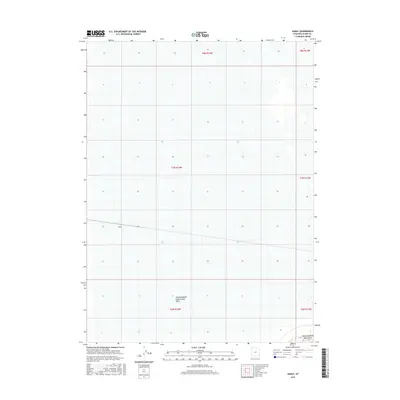
2017 Map of Lemay
USGS Topo · Published 2017About this map
Lemay occupies a remote stretch of the Utah desert in this 2017 survey of Box Elder County. The landscape is defined by the vast engineering of the Newfoundland Evaporation Basin, a massive feature utilized for water management and mineral extraction in the Great Salt Lake region. A segment of the Lemay rail line cuts across the basin, marking a critical transport corridor through an otherwise sparse environment. To the southeast, the rising terrain of the Newfoundland Mountains provides a stark contrast to the flat, industrial expanse of the evaporation basins. This map captures the intersection of industrial land use and the natural geological features of the Great Basin, where transportation infrastructure must navigate the specialized geography of the salt flats.
Find a feature on this map
10 named features on this map. Tap any name to fly to it.
Don’t see what you’re looking for? This feature index may not catch every label — zoom into the map to look around manually.
Map Details
Editions of this 2017 Lemay Map
This is the sole edition of this map. No revisions or reprints were ever made.
Other maps of this area

1954 · Brigham City
USGS Topo · 1:250,000

1958 · Brigham City
USGS Topo · 1:250,000

1962 · Brigham City
USGS Topo · 1:250,000

1983 · Desert Peak
USGS Topo · 1:24,000

1983 · Lemay
USGS Topo · 1:24,000

1983 · Bovine SE
USGS Topo · 1:24,000

1983 · Terrace Mountain West
USGS Topo · 1:24,000

1983 · Terrace Mountain East
USGS Topo · 1:24,000

1983 · Sheep Mountain
USGS Topo · 1:24,000

1983 · Groome
USGS Topo · 1:24,000