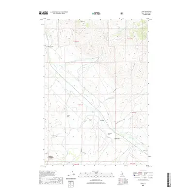
2020 Map of Lemhi
USGS Topo · Published 2020About this map
Lemhi River valley life in the early 21st century is defined by the narrow corridor of riparian land between the high mountain ranges of east-central Idaho. The settlement of Lemhi serves as the focal point for this rural landscape, where the Lemhi Rd and Old Hwy 28 trace the historical movement of goods and people through the high desert. The terrain is marked by numerous drainages such as Yearian Cr, Reese Cr, and Mill Cr that feed into the main river channel from the surrounding peaks.
Find a feature on this map
36 named features on this map. Tap any name to fly to it.
Don’t see what you’re looking for? This feature index may not catch every label — zoom into the map to look around manually.
Map Details
Editions of this 2020 Lemhi Map
This is the sole edition of this map. No revisions or reprints were ever made.
Other maps of this area

1955 · Dubois
USGS Topo · 1:250,000

1956 · Leadore
USGS Topo · 1:62,500

1956 · Patterson
USGS Topo · 1:62,500

1956 · Lemhi
USGS Topo · 1:62,500

1958 · Dubois
USGS Topo · 1:250,000

1965 · Lemhi Pass
USGS Topo · 1:24,000
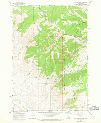
1965 · Goat Mountain
USGS Topo · 1:24,000

1980 · Leadore
USGS Topo · 1:100,000
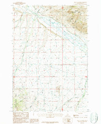
1987 · West of Leadore
USGS Topo · 1:24,000
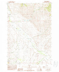
1989 · Lemhi
USGS Topo · 1:24,000