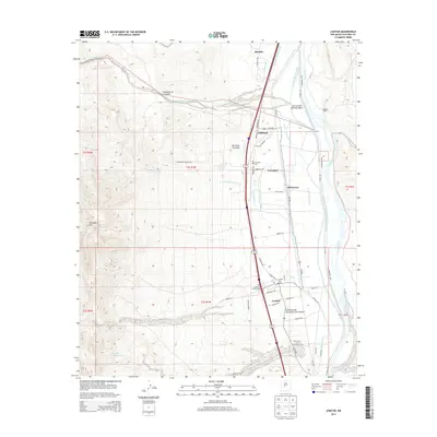
2013 Map of Lemitar
USGS Topo · Published 2013About this map
The Rio Grande corridor in Socorro County is defined by an intricate network of irrigation and drainage infrastructure designed to manage the river's flow through the arid valley. Settled areas like Lemitar and Polvadera are closely tied to these water systems, which include the Rio Grande Main Conveyance Channel, the San Lorenzo Settling Basin, and the Lemitar Riverside Drain. To the west, the terrain rises sharply toward Polvadera Mtn, while the valley floor is crisscrossed by historic routes and local roads such as Chaparral Loop and Polvadera Rd. Genealogy researchers will find locations of local significance, including the Polvadera Cem and Lemitar Cem, as well as the post office at Polvadera. The map captures the complex engineering of the landscape, where features like the San Acacia Drainage Canal and Vasquez Lateral support agricultural life alongside natural landmarks like the San Lorenzo Arroyo.
Find a feature on this map
107 named features on this map. Tap any name to fly to it.
Don’t see what you’re looking for? This feature index may not catch every label — zoom into the map to look around manually.
Map Details
Editions of this 2013 Lemitar Map
This is the sole edition of this map. No revisions or reprints were ever made.
Other maps of this area

1906 · Socorro
USGS Topo · 1:62,500

1916 · La Joya
USGS Topo · 1:125,000

1952 · San Anacia
USGS Topo · 1:24,000

1952 · La Joya
USGS Topo · 1:24,000

1954 · Socorro
USGS Topo · 1:250,000

1958 · Socorro
USGS Topo · 1:250,000

1959 · Loma De Las Canas
USGS Topo · 1:24,000

1959 · Socorro
USGS Topo · 1:24,000

1959 · Mesa Del Yeso
USGS Topo · 1:24,000

1959 · Lemitar
USGS Topo · 1:24,000