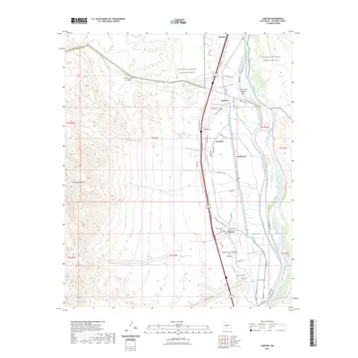
2023 Map of Lemitar
USGS Topo · Published 2023About this map
Lemitar and the surrounding Socorro County landscape are defined by a complex network of irrigation and water management features following the Rio Grande corridor. This modern survey illustrates the vital relationship between the river and the valley's agricultural settlements, including Polvadera, Chamizal, and Alamillo. The intricate system of water control is evident through the Rio Grande Main Conveyance Channel, the Lemitar Riverside Drain, and numerous laterals like the Polvadera Ditch and Vasquez Lateral. Local heritage is anchored by several burial sites, such as Polvadera Cem, Lemitar Cem, and the Composanto Viejo Cem. To the west, the terrain rises sharply toward Polvadera Mountain, while the northern portion of the map is dominated by the protected lands of the Sevilleta National Wildlife Refuge.
Find a feature on this map
56 named features on this map. Tap any name to fly to it.
Don’t see what you’re looking for? This feature index may not catch every label — zoom into the map to look around manually.
Map Details
Editions of this 2023 Lemitar Map
This is the sole edition of this map. No revisions or reprints were ever made.
Other maps of this area

1906 · Socorro
USGS Topo · 1:62,500

1916 · La Joya
USGS Topo · 1:125,000

1952 · San Anacia
USGS Topo · 1:24,000

1952 · La Joya
USGS Topo · 1:24,000

1954 · Socorro
USGS Topo · 1:250,000

1958 · Socorro
USGS Topo · 1:250,000

1959 · Loma De Las Canas
USGS Topo · 1:24,000

1959 · Socorro
USGS Topo · 1:24,000

1959 · Mesa Del Yeso
USGS Topo · 1:24,000

1959 · Lemitar
USGS Topo · 1:24,000