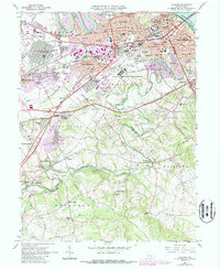
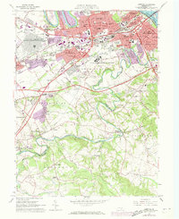
1963 Map of Lemoyne
USGS Topo · Published 1987About this map
Yellow Breeches Creek winds through the heart of this landscape, serving as a natural boundary between Cumberland and York counties as they meet south of the Susquehanna River. The map captures a period of significant suburban development and institutional presence in central Pennsylvania. Large-scale complexes such as the Navy Ship Parts Control Center and the State Correctional Institution dominate the mid-century layout, while the Pennsylvania Turnpike cuts a path across the southern townships.
Find a feature on this map
94 named features on this map. Tap any name to fly to it.
Don’t see what you’re looking for? This feature index may not catch every label — zoom into the map to look around manually.
Map Details
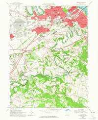
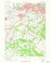
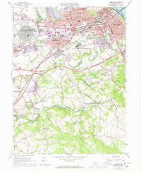
Editions of this 1963 Lemoyne Map
5 editions found
Other maps of this area

1892 · Harrisburg
USGS Topo · 1:62,500

1899 · Harrisburg
USGS Topo · 1:62,500

1904 · Carlisle
USGS Topo · 1:62,500

1906 · New Cumberland
USGS Topo · 1:62,500

1907 · New Bloomfield
USGS Topo · 1:62,500

1924 · Harrisburg
USGS Topo · 1:62,500

1943 · New Cumberland
USGS Topo · 1:62,500

1943 · Harrisburg
USGS Topo · 1:62,500

1943 · New Bloomfield
USGS Topo · 1:62,500

1943 · Carlisle
USGS Topo · 1:62,500