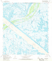
1968 Map of Lena Lagoon
USGS Topo · Published 1969About this map
Biloxi State Wildlife Management Area dominates this coastal landscape in St. Bernard Parish, where a labyrinth of waterways meets the southeastern edge of Lake Borgne. The central feature of the map is the massive Mississippi River-Gulf Outlet Canal, a straight engineering corridor flanked by an extensive Spoil Area. This artificial channel cuts through the natural marshland, fundamentally altering the flow of historic waters like Bayou La Loutre and St Malo Bayou.
Find a feature on this map
27 named features on this map. Tap any name to fly to it.
Don’t see what you’re looking for? This feature index may not catch every label — zoom into the map to look around manually.
Map Details
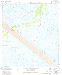
Editions of this 1968 Lena Lagoon Map
2 editions found
Other maps of this area

1893 · La Fortuna
USGS Topo · 1:62,500

1893 · Shell Beach
USGS Topo · 1:62,500

1893 · Dime
USGS Topo · 1:62,500

1895 · Bodreau
USGS Topo · 1:62,500

1935 · Lake Athanasio
USGS Topo · 1:31,680

1935 · Lake Calebasse
USGS Topo · 1:31,680

1939 · Shell Beach
USGS Topo · 1:62,500

1941 · Black Bay
USGS Topo · 1:62,500

1941 · Shell Beach
USGS Topo · 1:62,500
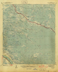
1944 · Black Bay
USGS Topo · 1:62,500