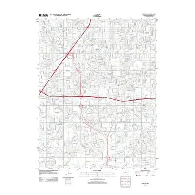
2012 Map of Lenexa
USGS Topo · Published 2012About this map
Elmhurst and Sunset Hill anchor the residential and commercial landscape of this 2012 Johnson County survey, illustrating the dense suburban development southwest of Kansas City. The map is a significant resource for genealogists, documenting a high density of burial grounds including the Linwood Pioneer Cem, Antioch Cem, and the unique Woolford Farm Horse Cem near Corinth Cem. Educational and corporate expansion is evident through the footprints of the Johnson County Community College and the University of Kansas Edward Campus. This era of the landscape is defined by its complex transportation network, where I-35 and I-435 intersect, carving through the drainage basins of Indian Creek and Tomahawk Creek. Strategic office parks like Jeb Stuart Office Park and Westmark Offices highlight the transition toward a professional service economy in the early 21st century.
Find a feature on this map
52 named features on this map. Tap any name to fly to it.
Don’t see what you’re looking for? This feature index may not catch every label — zoom into the map to look around manually.
Map Details
Editions of this 2012 Lenexa Map
This is the sole edition of this map. No revisions or reprints were ever made.
Other maps of this area

1887 · Olathe
USGS Topo · 1:125,000

1890 · Kansas City
USGS Topo · 1:125,000

1893 · Olathe
USGS Topo · 1:125,000

1894 · Kansas City
USGS Topo · 1:125,000

1934 · Bonner Springs
USGS Topo · 1:48,000

1934 · Grandview
USGS Topo · 1:24,000

1934 · Shawnee
USGS Topo · 1:24,000

1934 · Edwardsville
USGS Topo · 1:24,000

1935 · Olathe
USGS Topo · 1:24,000

1935 · Kansas City
USGS Topo · 1:24,000