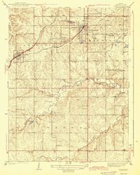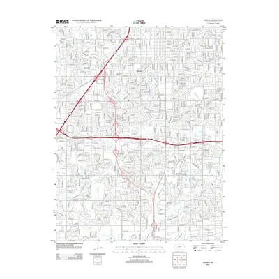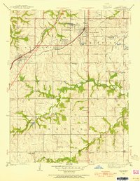
1935 Map of Lenexa
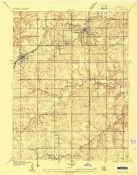
USGS Topo · Published 1954About this map
Lenexa and Overland Park appear during a period of transition in Johnson County, where emerging residential developments meet a deeply established rural landscape. The townships of Shawnee, Mission, and Oxford are defined by a high density of one-room schoolhouses, including School No 61, Valley View Sch, and Oxford Sch, which served the farming families of the Missouri-Kansas borderlands. The presence of the Mission Valley Hunt Club and a Polo Field near Brush Creek signals the area's early 20th-century character as a recreational retreat for the nearby urban center.
Find a feature on this map
39 named features on this map. Tap any name to fly to it.
Don’t see what you’re looking for? This feature index may not catch every label — zoom into the map to look around manually.
Map Details
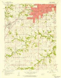
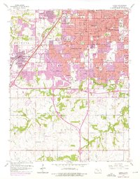
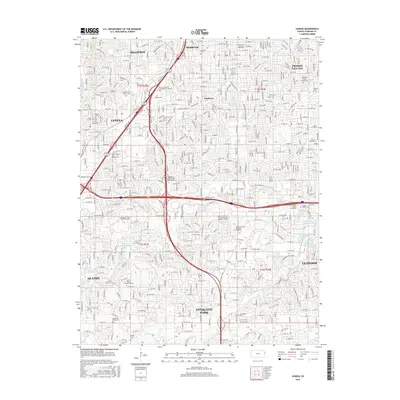
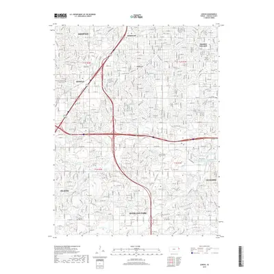
Editions of this 1935 Lenexa Map
2 editions found
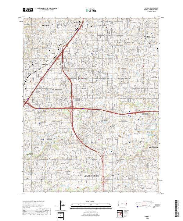
Historical Maps of Overland Park Through Time
10 maps found