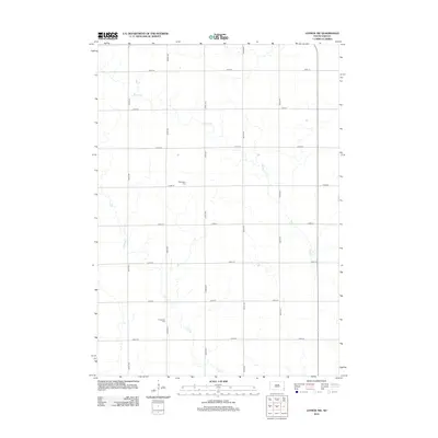
2012 Map of Lennox NW
USGS Topo · Published 2012About this map
Norwegian Cem and Chancellor Cem anchor this landscape in Turner County, marking the cultural and familial history of the area's early settlers. The terrain is defined by the winding paths of Beaver Cr and Long Cr, which meander through a strictly organized grid of rural roads. This intersection of natural watercourses and the section-line road system, including routes like 269th St and 462nd Ave, illustrates the enduring structure of South Dakota's agricultural heartland. The layout reflects a century of land use where small rural cemeteries remain as some of the most prominent landmarks among the expansive fields.
Find a feature on this map
17 named features on this map. Tap any name to fly to it.
Don’t see what you’re looking for? This feature index may not catch every label — zoom into the map to look around manually.
Map Details
Editions of this 2012 Lennox NW Map
This is the sole edition of this map. No revisions or reprints were ever made.
Other maps of this area

1897 · Canton
USGS Topo · 1:125,000

1898 · Parker
USGS Topo · 1:125,000

1900 · Canton
USGS Topo · 1:125,000

1955 · Sioux Falls
USGS Topo · 1:250,000

1958 · Sioux Falls
USGS Topo · 1:250,000

1962 · Tea
USGS Topo · 1:24,000

1962 · Hartford South
USGS Topo · 1:24,000

1962 · Lennox NW
USGS Topo · 1:24,000

1962 · Sioux Falls West
USGS Topo · 1:24,000

1964 · Worthing
USGS Topo · 1:24,000