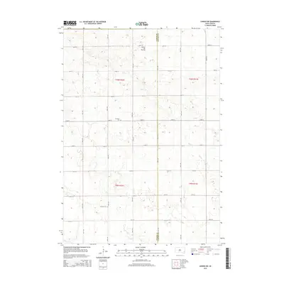
2015 Map of Lennox NW
USGS Topo · Published 2015About this map
Coteau des Prairies defines the elevated terrain of this eastern South Dakota landscape, where the headwaters of Beaver Cr and Long Cr carve subtle drainages through a grid of rural section lines. The map captures the agricultural heart of the region on the border of Turner and Lincoln Counties. This area is marked by its pioneer heritage, clearly visible through sites like the Norwegian Cem and Chancellor Cem, which serve as vital touchstones for family historians tracing early settlement patterns. The organized network of section roads, including 464th Ave and 272nd ST, illustrates the enduring structure of the township system that has governed the local geography since the initial land surveys.
Find a feature on this map
24 named features on this map. Tap any name to fly to it.
Don’t see what you’re looking for? This feature index may not catch every label — zoom into the map to look around manually.
Map Details
Editions of this 2015 Lennox NW Map
This is the sole edition of this map. No revisions or reprints were ever made.
Other maps of this area

1897 · Canton
USGS Topo · 1:125,000

1898 · Parker
USGS Topo · 1:125,000

1900 · Canton
USGS Topo · 1:125,000

1955 · Sioux Falls
USGS Topo · 1:250,000

1958 · Sioux Falls
USGS Topo · 1:250,000

1962 · Tea
USGS Topo · 1:24,000

1962 · Hartford South
USGS Topo · 1:24,000

1962 · Lennox NW
USGS Topo · 1:24,000

1962 · Sioux Falls West
USGS Topo · 1:24,000

1964 · Worthing
USGS Topo · 1:24,000