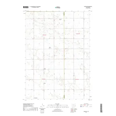
2017 Map of Lennox NW
USGS Topo · Published 2017About this map
The settlement of Chancellor anchors the southwestern edge of this landscape, where the agricultural grid of Turner and Lincoln Counties meets the high plains of the Coteau des Prairies. This terrain is defined by a dense network of sectional roads and the gentle drainage of Long Cr and Beaver Cr. For those tracing local heritage, the map identifies several significant burial grounds and religious sites that reflect the area's ethnic and denominational history, including the Norwegian Pioneer Lutheran Cem and the Germantown Presbyterian Church Cem. The layout of the road network, such as Co HWY 41 and Co HWY 116, illustrates the modern connectivity of this rural prairie region while maintaining the traditional township boundaries of T100N and T99N.
Find a feature on this map
30 named features on this map. Tap any name to fly to it.
Don’t see what you’re looking for? This feature index may not catch every label — zoom into the map to look around manually.
Map Details
Editions of this 2017 Lennox NW Map
This is the sole edition of this map. No revisions or reprints were ever made.
Other maps of this area

1897 · Canton
USGS Topo · 1:125,000

1898 · Parker
USGS Topo · 1:125,000

1900 · Canton
USGS Topo · 1:125,000

1955 · Sioux Falls
USGS Topo · 1:250,000

1958 · Sioux Falls
USGS Topo · 1:250,000

1962 · Tea
USGS Topo · 1:24,000

1962 · Hartford South
USGS Topo · 1:24,000

1962 · Lennox NW
USGS Topo · 1:24,000

1962 · Sioux Falls West
USGS Topo · 1:24,000

1964 · Worthing
USGS Topo · 1:24,000