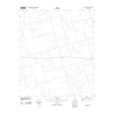
2010 Map of Lenorah West
USGS Topo · Published 2010About this map
Grady, Tarzan, and Lenorah anchor this section of the West Texas Permian Basin, where a precise grid of rural county roads defines the landscape's structure. The map captures a transition in agricultural and industrial land use, marked by a dense network of routes such as Co RD 3900 and FM 829. This geometric layout reflects the long-standing land partitioning of Martin County, where local access is maintained through named tracks like Woodward Rd. The terrain is characterized by subtle elevation changes and numerous small depressions or ponds, typical of the regional geography. This survey provides researchers with a clear view of the settlement patterns and transportation infrastructure that supported the community and oil interests during the first decade of the 21st century.
Find a feature on this map
23 named features on this map. Tap any name to fly to it.
Don’t see what you’re looking for? This feature index may not catch every label — zoom into the map to look around manually.
Map Details
Editions of this 2010 Lenorah West Map
This is the sole edition of this map. No revisions or reprints were ever made.
Other maps of this area

1954 · Hobbs
USGS Topo · 1:250,000

1954 · Big Spring
USGS Topo · 1:250,000

1958 · Big Spring
USGS Topo · 1:250,000

1958 · Hobbs
USGS Topo · 1:250,000

1966 · Wolcott Ranch
USGS Topo · 1:24,000

1966 · Merrick
USGS Topo · 1:24,000

1966 · Lenorah West
USGS Topo · 1:24,000

1966 · Flynt Ranch
USGS Topo · 1:24,000

1966 · Flower Grove
USGS Topo · 1:24,000

1966 · North Curtis Ranch
USGS Topo · 1:24,000