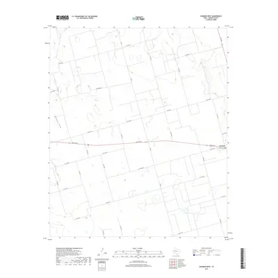
2019 Map of Lenorah West
USGS Topo · Published 2019About this map
Mustang Draw cuts a subtle path across this Martin County landscape, illustrating the ephemeral drainage patterns characteristic of the West Texas plains. The settlement of Lenorah sits at a crossroads in the eastern portion of the map, where Ranch Rd 87 meets local routes like Lenorah Loop. This 2019 survey documents a highly organized grid of rural infrastructure, defined by an extensive network of county roads including Co Rd 3600 and Co Rd 3300. The regular spacing of these roads and the inclusion of a prominent Fence Line indicate a landscape partitioned for large-scale agricultural or ranching operations. The presence of Woodward Rd and various farm-to-market roads like FM 829 shows how modern transport routes follow the historic section lines of the Texas Panhandle and Permian Basin regions.
Find a feature on this map
24 named features on this map. Tap any name to fly to it.
Don’t see what you’re looking for? This feature index may not catch every label — zoom into the map to look around manually.
Map Details
Editions of this 2019 Lenorah West Map
This is the sole edition of this map. No revisions or reprints were ever made.
Other maps of this area

1954 · Hobbs
USGS Topo · 1:250,000

1954 · Big Spring
USGS Topo · 1:250,000

1958 · Big Spring
USGS Topo · 1:250,000

1958 · Hobbs
USGS Topo · 1:250,000

1966 · Wolcott Ranch
USGS Topo · 1:24,000

1966 · Merrick
USGS Topo · 1:24,000

1966 · Lenorah West
USGS Topo · 1:24,000

1966 · Flynt Ranch
USGS Topo · 1:24,000

1966 · Flower Grove
USGS Topo · 1:24,000

1966 · North Curtis Ranch
USGS Topo · 1:24,000