2022 Map of Lenox
USGS Topo · Published 2022About this map
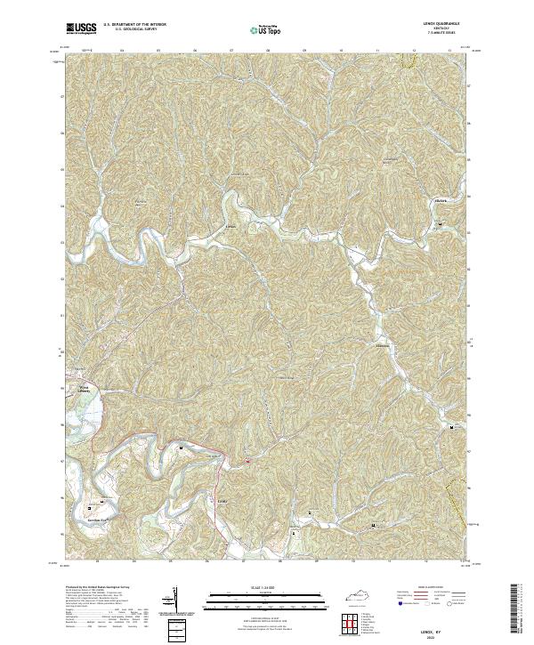
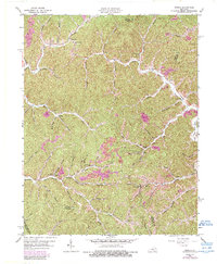
The Licking River winds through the southern portion of this Kentucky landscape, defining the topography near Cottle and the distinctive oxbow at Cottle Bend. The settlement of West Liberty appears in the southwest corner, serving as a gateway to a region characterized by numerous creek valleys and elevated ridges like Bolin Ridge. This area is marked by a deep genealogical footprint, with family-named cemeteries such as Adkins Cem, Patton Cem, and Lacy Cem distributed among the hills near Limekiln Knob.
Find a feature on this map
85 named features on this map. Tap any name to fly to it.
Don’t see what you’re looking for? This feature index may not catch every label — zoom into the map to look around manually.
Map Details
Editions of this 2022 Lenox Map
This is the sole edition of this map. No revisions or reprints were ever made.
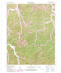
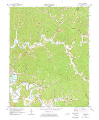
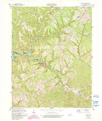
Historical Maps of Lenox Through Time
14 maps found

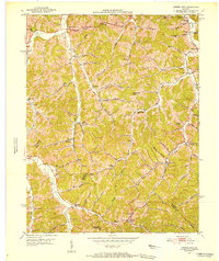
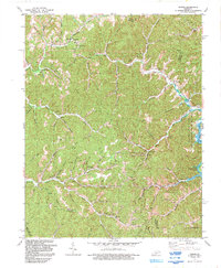
1950 Lenox
Morgan County, KY
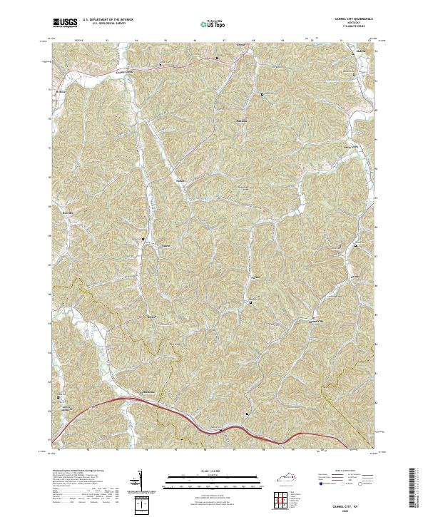
1951 Cannel City
Morgan County, KY

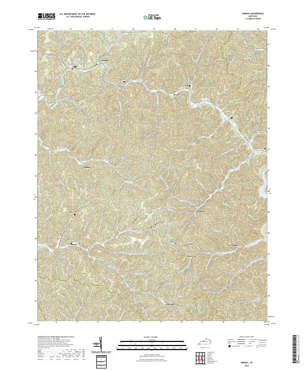
1951 Dingus
Morgan County, KY
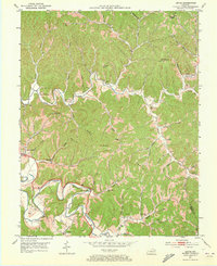
1951 Lenox
Morgan County, KY
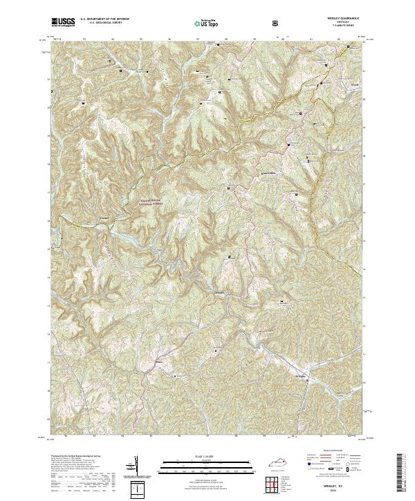
1953 Wrigley
Morgan County, KY
1962 Dingus
Morgan County, KY
1965 Cannel City
Morgan County, KY
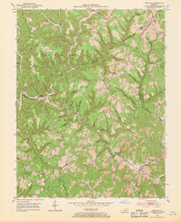
1977 Lenox
Morgan County, KY
1977 Wrigley
Morgan County, KY
1992 Dingus
Morgan County, KY
2022 Cannel City
Morgan County, KY
2022 Dingus
Morgan County, KY
2022 Lenox
Morgan County, KY
2022 Wrigley
Morgan County, KY