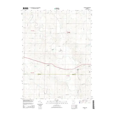
1958 Map of Lentner
USGS Topo · Published 1961About this map
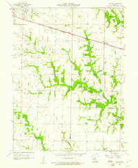
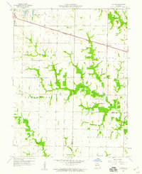
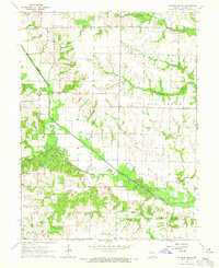
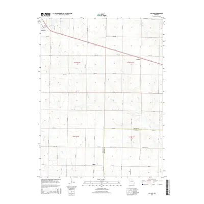
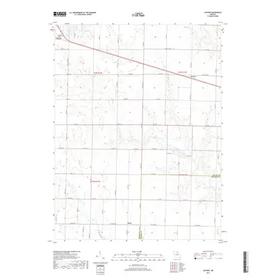
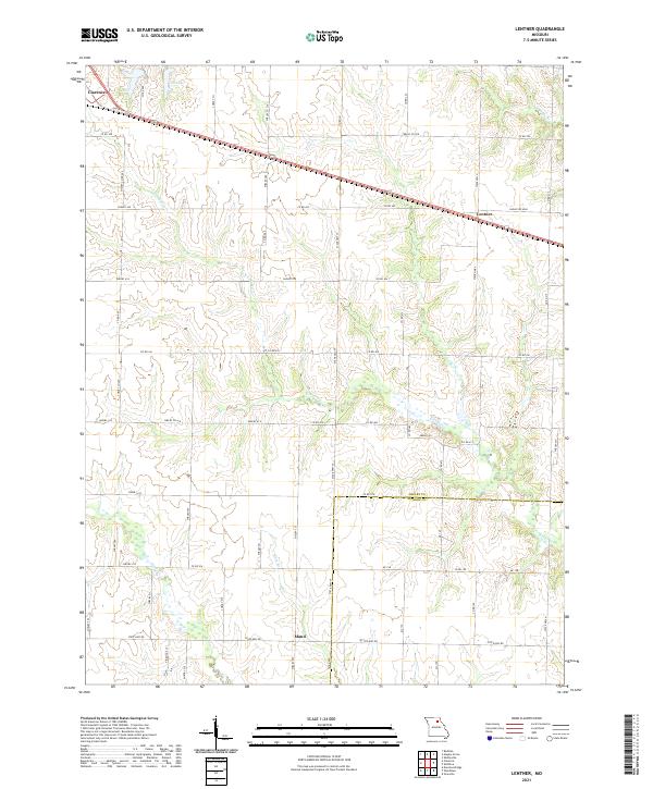
Lentner sits as the primary settlement on this mid-century survey of the Shelby and Monroe county line. The community is anchored by the Chicago Burlington and Quincy railroad, which cuts a straight line through the northern section of the quadrangle. The surrounding landscape is defined by the winding paths of Crooked Creek and Otter Creek, which create deep pockets of wooded terrain across the rural townships of Jefferson and Woodlawn. Local life in the late 1950s was centered around small rural landmarks such as Oak Ridge Church and its neighboring Oak Ridge School, along with Fairview School further south. This map provides a clear picture of the transition from wooded creek bottoms to open Missouri farmland just before the era of major interstate expansion.
Find a feature on this map
15 named features on this map. Tap any name to fly to it.
Don’t see what you’re looking for? This feature index may not catch every label — zoom into the map to look around manually.
Map Details
Editions of this 1958 Lentner Map
2 editions found
Historical Maps of Clarence Through Time
20 maps found
1958 Lentner
Shelby County, MO
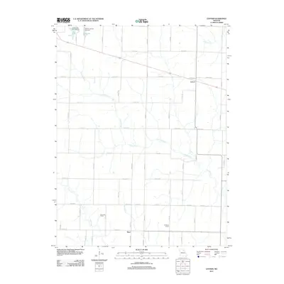
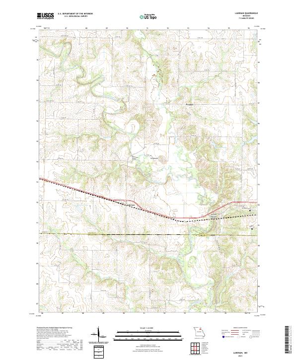
1959 Lakenan
Shelby County, MO
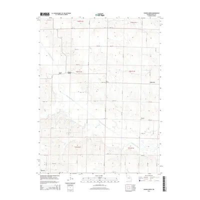
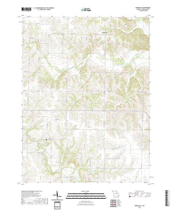
1964 Burksville
Shelby County, MO
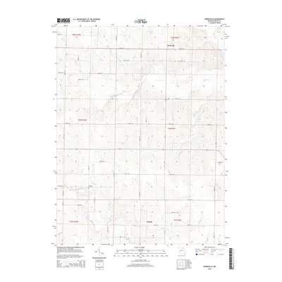
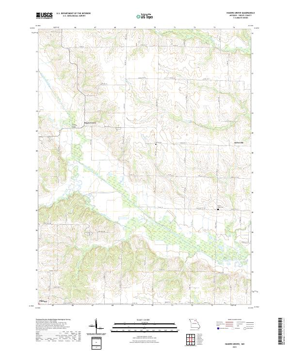
1964 Hagers Grove
Shelby County, MO
2012 Burksville
Shelby County, MO
2012 Hagers Grove
Shelby County, MO
2012 Lakenan
Shelby County, MO
2012 Lentner
Shelby County, MO
2014 Burksville
Shelby County, MO
2014 Hagers Grove
Shelby County, MO
2014 Lakenan
Shelby County, MO
2014 Lentner
Shelby County, MO
2017 Burksville
Shelby County, MO
2017 Hagers Grove
Shelby County, MO
2017 Lakenan
Shelby County, MO
2017 Lentner
Shelby County, MO
2021 Burksville
Shelby County, MO
2021 Hagers Grove
Shelby County, MO
2021 Lakenan
Shelby County, MO
2021 Lentner
Shelby County, MO