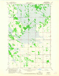
1966 Map of Leo
USGS Topo · Published 1968About this map
The small settlement of Leo anchors the southeastern corner of this Roseau County landscape, as mapped in the mid-1960s. The terrain is defined by a complex mosaic of marshland and low-lying topography, heavily influenced by the drainage infrastructure of the State Ditch No 72 which cuts across the northern half of the region. This area reflects the late-stage efforts to manage the northern Minnesota wetlands for agriculture and settlement during the mid-20th century.
Find a feature on this map
9 named features on this map. Tap any name to fly to it.
Don’t see what you’re looking for? This feature index may not catch every label — zoom into the map to look around manually.
Map Details
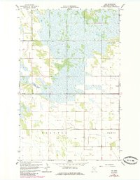
Editions of this 1966 Leo Map
2 editions found
Other maps of this area

1918 · Greenbush
USGS Topo · 1:62,500

1919 · Pelan
USGS Topo · 1:62,500

1919 · Badger
USGS Topo · 1:62,500

1930 · Juneberry
USGS Topo · 1:31,680

1932 · Juneberry
USGS Topo · 1:62,500

1952 · Thief River Falls
USGS Topo · 1:250,000

1956 · Thief River Falls
USGS Topo · 1:250,000

1957 · Thief River Falls
USGS Topo · 1:250,000

1957 · Pelan
USGS Topo · 1:62,500
1962 · Greenbush
USGS Topo · 1:24,000