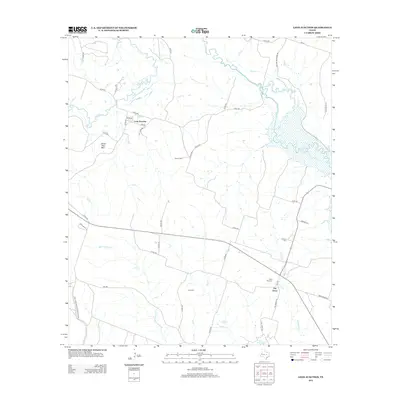
2012 Map of Leon Junction
USGS Topo · Published 2012About this map
Leon Junction and The Grove anchor this Coryell County landscape, where the meandering course of the Leon River defines the northern terrain. The area's settlement history is preserved through a network of rural burial sites, including Seaton Cem, Graham Cem, Saint Paul Cem, and King Cem, often situated near the many small waterways like Metheglin Cr and Flint Cr that drain toward the river.
Find a feature on this map
47 named features on this map. Tap any name to fly to it.
Don’t see what you’re looking for? This feature index may not catch every label — zoom into the map to look around manually.
Map Details
Editions of this 2012 Leon Junction Map
This is the sole edition of this map. No revisions or reprints were ever made.
Other maps of this area

1892 · Temple
USGS Topo · 1:125,000

1894 · Gatesville
USGS Topo · 1:125,000

1924 · Gatesville 4-a
USGS Topo · 1:48,000

1924 · Temple 2-C
USGS Topo · 1:48,000

1924 · Temple 3-B
USGS Topo · 1:48,000

1930 · Killeen
USGS Topo · 1:62,500

1931 · Mc Gregor
USGS Topo · 1:62,500

1931 · Belton
USGS Topo · 1:62,500

1947 · Bland
USGS Topo · 1:24,000

1947 · Post Oak Mountain
USGS Topo · 1:24,000