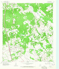
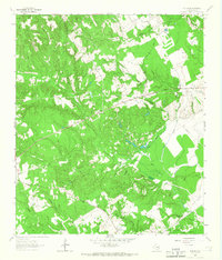
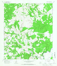
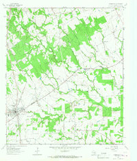
1964 Map of Leona
USGS Topo · Published 1967About this map
The community of Leona sits at the intersection of State Highway 977 and U.S. 75, surrounded by a landscape of creeks and small family-named landmarks. This mid-1960s survey documents the rural character of Leon County, where life centered around institutions like the Washington Perkins Sch, Mount Zion Ch, and Hillery Chapel. To the north, the historic Fort Boggy (Site) is noted near Hayden Mountain, reflecting the area's early frontier history.
Find a feature on this map
37 named features on this map. Tap any name to fly to it.
Don’t see what you’re looking for? This feature index may not catch every label — zoom into the map to look around manually.
Map Details
Editions of this 1964 Leona Map
This is the sole edition of this map. No revisions or reprints were ever made.
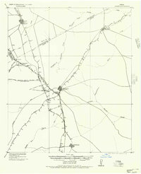
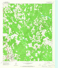
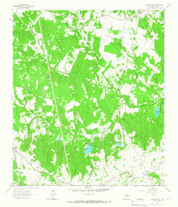
Other maps of this area

1953 · Palestine
USGS Topo · 1:250,000

1954 · Waco
USGS Topo · 1:250,000

1955 · Waco
USGS Topo · 1:250,000
1956 · Jewett
USGS Topo · 1:62,500

1957 · Palestine
USGS Topo · 1:250,000
1964 · Centerville
USGS Topo · 1:24,000
1964 · Spring Seat
USGS Topo · 1:24,000
1964 · Eunice
USGS Topo · 1:24,000
1964 · Middleton
USGS Topo · 1:24,000
1964 · Normangee
USGS Topo · 1:24,000