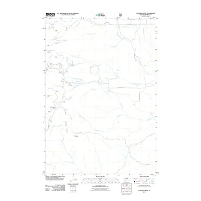
2011 Map of Leonard Creek
USGS Topo · Published 2011About this map
Elk Hills and the surrounding drainages of Madison County define this landscape of resource extraction and rugged water management. The map documents the mid-20th-century footprint of mining operations, specifically the NW SW Section 4 Mine and the Fletcher Creek Mine located south of the main Leonard Creek valley. These sites, coupled with the Billito Lark Dam, illustrate the intensive use of the watershed for local industry.
Find a feature on this map
44 named features on this map. Tap any name to fly to it.
Don’t see what you’re looking for? This feature index may not catch every label — zoom into the map to look around manually.
Map Details
Editions of this 2011 Leonard Creek Map
This is the sole edition of this map. No revisions or reprints were ever made.
Other maps of this area

1888 · Three Forks
USGS Topo · 1:250,000

1894 · Three Forks
USGS Topo · 1:250,000

1895 · Three Forks
USGS Topo · 1:250,000

1947 · Bozeman
USGS Topo · 1:250,000

1948 · Bozeman
USGS Topo · 1:250,000

1949 · Ennis
USGS Topo · 1:62,500

1949 · Norris
USGS Topo · 1:62,500

1950 · Harrison
USGS Topo · 1:62,500

1950 · Virginia City
USGS Topo · 1:62,500

1951 · Norris
USGS Topo · 1:62,500