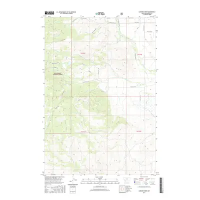
2017 Map of Leonard Creek
USGS Topo · Published 2017About this map
Beaverhead National Forest covers much of the high-elevation terrain here, where a complex network of forest roads and creek-drainage loops provides access to the backcountry. The landscape is defined by the headwaters of numerous streams, including Middle Leonard Creek, Virginia Creek, and Daisy Creek, which flow through deep-cut valleys. Modern road names like Elk Hills Road, Elk View Road, and Elk Trails Road suggest the local wildlife character of this Madison County region. The eastern portion of the survey transitions into the lower-lying basins where North Meadow Creek and South Meadow Creek converge. Grounded features like Hughes Ranch Road and several family-named lanes around North Meadow Creek indicate the agricultural and ranching footprint that borders the federal forest lands.
Find a feature on this map
40 named features on this map. Tap any name to fly to it.
Don’t see what you’re looking for? This feature index may not catch every label — zoom into the map to look around manually.
Map Details
Editions of this 2017 Leonard Creek Map
This is the sole edition of this map. No revisions or reprints were ever made.
Other maps of this area

1888 · Three Forks
USGS Topo · 1:250,000

1894 · Three Forks
USGS Topo · 1:250,000

1895 · Three Forks
USGS Topo · 1:250,000

1947 · Bozeman
USGS Topo · 1:250,000

1948 · Bozeman
USGS Topo · 1:250,000

1949 · Ennis
USGS Topo · 1:62,500

1949 · Norris
USGS Topo · 1:62,500

1950 · Harrison
USGS Topo · 1:62,500

1950 · Virginia City
USGS Topo · 1:62,500

1951 · Norris
USGS Topo · 1:62,500