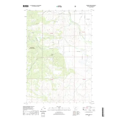
2020 Map of Leonard Creek
USGS Topo · Published 2020About this map
The Tobacco Root Mountains dominate this high-elevation landscape within the Beaverhead National Forest. This 2020 edition provides a modern view of a region defined by its complex drainage systems, where water flows from high peaks through corridors like Sawlog Creek and the Spring Branch of Virginia Creek. The terrain is marked by significant features such as Leonard Ridge, which separates the drainages of Dry Leonard Creek and Leonard Creek. A network of Forest Service development roads and named trails, including Elk Trail Rd and Elk View Rd, reflects the area's use for recreation and land management. Along the eastern edge, the transition from forest to lower-elevation land is evidenced by road names like Hughes Ranch Rd and Green Acre Ln, signaling the presence of private holdings and ranching history in Madison County.
Find a feature on this map
46 named features on this map. Tap any name to fly to it.
Don’t see what you’re looking for? This feature index may not catch every label — zoom into the map to look around manually.
Map Details
Editions of this 2020 Leonard Creek Map
This is the sole edition of this map. No revisions or reprints were ever made.
Other maps of this area

1888 · Three Forks
USGS Topo · 1:250,000

1894 · Three Forks
USGS Topo · 1:250,000

1895 · Three Forks
USGS Topo · 1:250,000

1947 · Bozeman
USGS Topo · 1:250,000

1948 · Bozeman
USGS Topo · 1:250,000

1949 · Ennis
USGS Topo · 1:62,500

1949 · Norris
USGS Topo · 1:62,500

1950 · Harrison
USGS Topo · 1:62,500

1950 · Virginia City
USGS Topo · 1:62,500

1951 · Norris
USGS Topo · 1:62,500