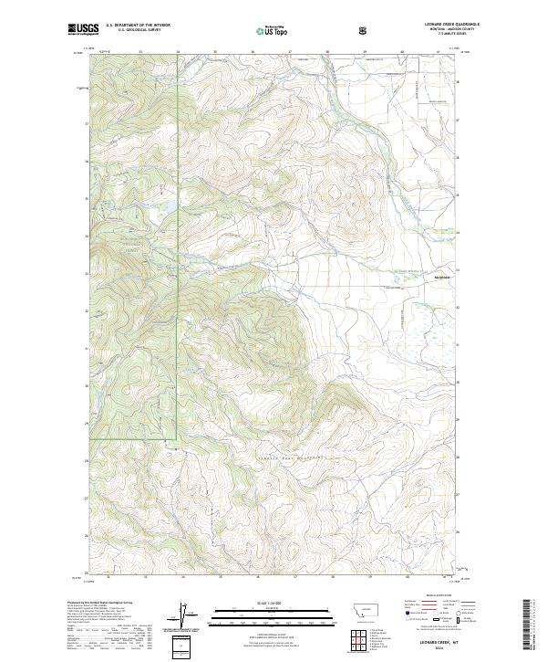
2024 Map of Leonard Creek
USGS Topo · Published 2024About this map
McAllister sits at the eastern edge of this landscape, serving as a gateway to the high elevations of the Tobacco Root Mountains. The terrain is defined by a dense network of drainages and ridges, including the prominent Leonard Ridge, which separates Dry Leonard Creek from the main flow of Leonard Creek. A significant portion of the area falls within the Beaverhead National Forest, where a complex system of forest roads, such as Natl Forest Develop Road 1221 RD, provides access to the backcountry. The hydrology is dominated by converging waters like North Meadow Creek, South Meadow Creek, and Virginia Creek, which flow toward the lower elevations near the Madison River valley. The presence of numerous family-named roads and trails, including Hughes Ranch Rd and Maxs Ln, suggests a history of long-standing ranching and land use in this part of Madison County.
Find a feature on this map
43 named features on this map. Tap any name to fly to it.
Don’t see what you’re looking for? This feature index may not catch every label — zoom into the map to look around manually.
Map Details
Editions of this 2024 Leonard Creek Map
This is the sole edition of this map. No revisions or reprints were ever made.
Other maps of this area

1888 · Three Forks
USGS Topo · 1:250,000

1894 · Three Forks
USGS Topo · 1:250,000

1895 · Three Forks
USGS Topo · 1:250,000

1947 · Bozeman
USGS Topo · 1:250,000

1948 · Bozeman
USGS Topo · 1:250,000

1949 · Ennis
USGS Topo · 1:62,500

1949 · Norris
USGS Topo · 1:62,500

1950 · Harrison
USGS Topo · 1:62,500

1950 · Virginia City
USGS Topo · 1:62,500

1951 · Norris
USGS Topo · 1:62,500