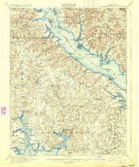
1901 Map of Leonardtown
USGS Topo · Published 1933About this map
The Patuxent River shoreline and the upper reaches of Breton Bay define this turn-of-the-century portrait of St. Mary's County. In 1900, the region’s economy and transport were tied inextricably to the water, evidenced by the dense concentration of maritime infrastructure including Sotterley Wharf, Queen Tree Landing, and Forest Wharf. Inland, the settlement pattern is marked by small agricultural and crossroads communities like Morganza, Loveville, and California, many situated along the ridges between the numerous runs and creeks that feed the larger estuaries. The county seat of Leonardtown sits at the head of the bay, serving as the primary hub for the southern Maryland interior. Further north, the landscape transitions into the distinct agricultural districts of Mechanicsville and Chaptico, where Mc. Intosh Run drains the wooded lowlands toward the St. Marys River.
Find a feature on this map
101 named features on this map. Tap any name to fly to it.
Don’t see what you’re looking for? This feature index may not catch every label — zoom into the map to look around manually.
Map Details
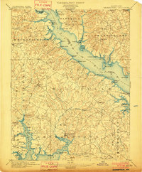
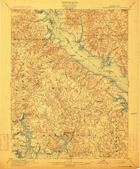
Editions of this 1901 Leonardtown Map
3 editions found
Other maps of this area

1892 · Leonardtown
USGS Topo · 1:62,500

1892 · Drum Point
USGS Topo · 1:62,500

1892 · Prince Frederick
USGS Topo · 1:62,500

1892 · Brandywine
USGS Topo · 1:62,500

1892 · Piney Point
USGS Topo · 1:62,500

1892 · Montross
USGS Topo · 1:62,500

1893 · Sharps Island
USGS Topo · 1:62,500

1894 · Wicomico
USGS Topo · 1:62,500

1894 · Piney Point
USGS Topo · 1:62,500

1894 · Point Lookout
USGS Topo · 1:62,500
Featured Places
- Lexington Park, MD
- California, Lexington Park
- Wildewood, Lexington Park
- Golden Beach, MD
- Leonardtown, MD