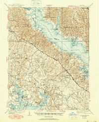
1939 Map of Leonardtown
USGS Topo · Published 1951About this map
The Patuxent River and its intricate network of estuaries dominate this 1930s coastal landscape, revealing the deep-seated maritime economy of Southern Maryland. The county seat of Leonardtown serves as a central hub, while the surrounding countryside is dotted with historic landmarks like the Sotterley estate and the river-dependent community of Broomes Island. This period captures the region's reliance on waterborne transport, evidenced by the numerous landings and wharves such as Williams Wharf, St Cuthbert Wharf, and Abells Wharf that lined the banks before modern highway infrastructure fully supplanted the river trade.
Find a feature on this map
130 named features on this map. Tap any name to fly to it.
Don’t see what you’re looking for? This feature index may not catch every label — zoom into the map to look around manually.
Map Details
Editions of this 1939 Leonardtown Map
3 editions found
Other maps of this area

1892 · Leonardtown
USGS Topo · 1:62,500

1892 · Drum Point
USGS Topo · 1:62,500

1892 · Prince Frederick
USGS Topo · 1:62,500

1892 · Brandywine
USGS Topo · 1:62,500

1892 · Piney Point
USGS Topo · 1:62,500

1892 · Montross
USGS Topo · 1:62,500

1893 · Sharps Island
USGS Topo · 1:62,500

1894 · Wicomico
USGS Topo · 1:62,500

1894 · Piney Point
USGS Topo · 1:62,500

1894 · Point Lookout
USGS Topo · 1:62,500
Featured Places
- Lexington Park, MD
- California, Lexington Park
- Wildewood, Lexington Park
- Golden Beach, MD
- Leonardtown, MD