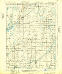
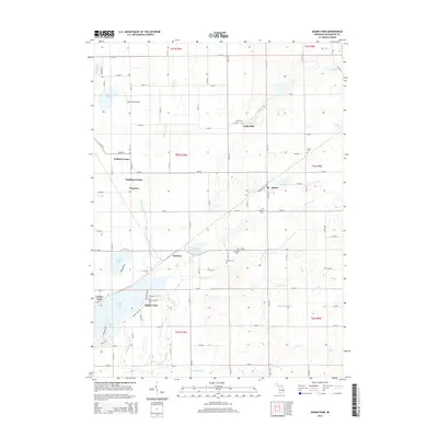
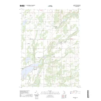
1918 Map of Leonidas
USGS Topo · Published 1932About this map
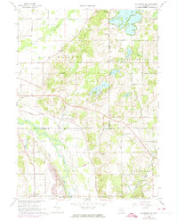
Mendon and Leonidas serve as primary hubs for the river-and-rail economy across southern Michigan during the early twentieth century. The landscape is deeply tied to its waterways, with Cooks Mill and Kings Mill indicating the persistent value of local water power along the Portage River and Nottawa Creek. The region’s connectivity is defined by three major rail lines, including the Grand Trunk Western RR and the Michigan Central RR, which linked rural outposts like Indian Lake Sta and Scotts to the larger industrial centers of the Great Lakes.
Find a feature on this map
99 named features on this map. Tap any name to fly to it.
Don’t see what you’re looking for? This feature index may not catch every label — zoom into the map to look around manually.
Map Details
Editions of this 1918 Leonidas Map
3 editions found
Historical Maps of Battle Creek Through Time
28 maps found
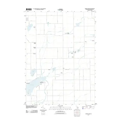
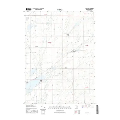
1918 Leonidas
Kalamazoo County, MI

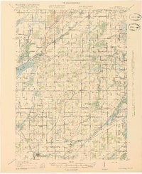
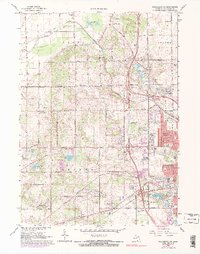
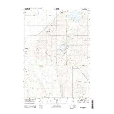
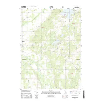
1944 Leonidas
Kalamazoo County, MI

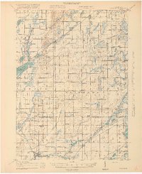
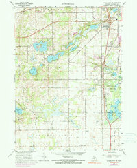
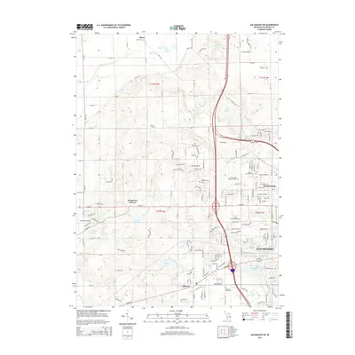
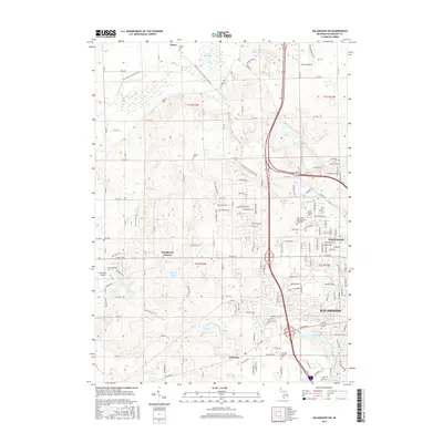
1947 Leonidas
Kalamazoo County, MI
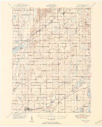
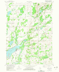
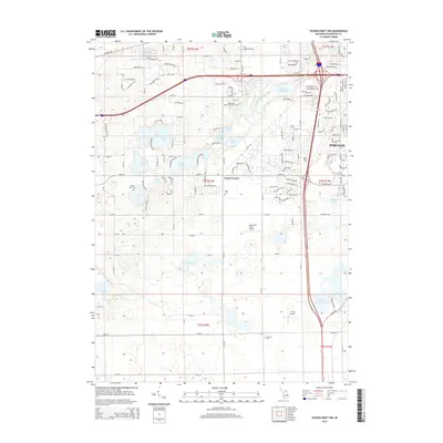
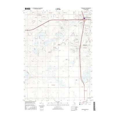
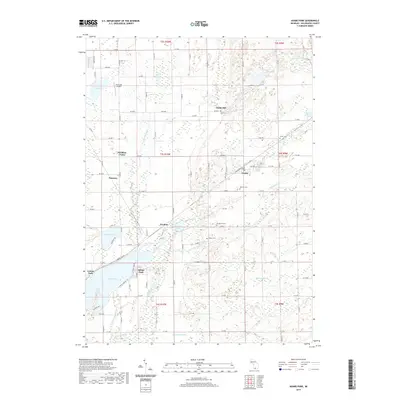
1950 Leonidas
Kalamazoo County, MI
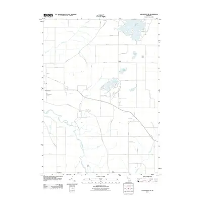
1967 Kalamazoo NE
Kalamazoo County, MI
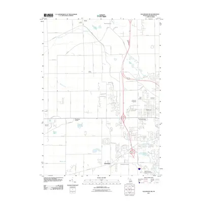
1967 Kalamazoo SW
Kalamazoo County, MI
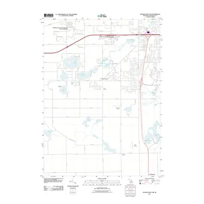
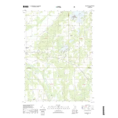
1967 Schoolcraft NW
Kalamazoo County, MI
1982 Adams Park
Kalamazoo County, MI
2011 Adams Park
Kalamazoo County, MI
2011 Kalamazoo NE
Kalamazoo County, MI
2011 Kalamazoo SW
Kalamazoo County, MI
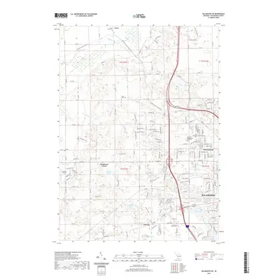
2011 Schoolcraft NW
Kalamazoo County, MI
2014 Adams Park
Kalamazoo County, MI
2014 Kalamazoo NE
Kalamazoo County, MI
2014 Kalamazoo SW
Kalamazoo County, MI
2014 Schoolcraft NW
Kalamazoo County, MI
2017 Adams Park
Kalamazoo County, MI
2017 Kalamazoo NE
Kalamazoo County, MI
2017 Kalamazoo SW
Kalamazoo County, MI
2017 Schoolcraft NW
Kalamazoo County, MI
2019 Adams Park
Kalamazoo County, MI
2019 Kalamazoo NE
Kalamazoo County, MI
2019 Kalamazoo SW
Kalamazoo County, MI
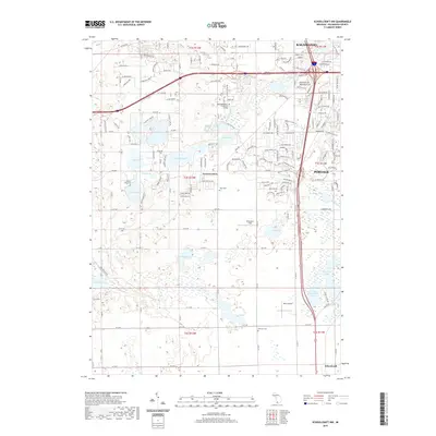
2019 Schoolcraft NW
Kalamazoo County, MI
2023 Adams Park
Kalamazoo County, MI
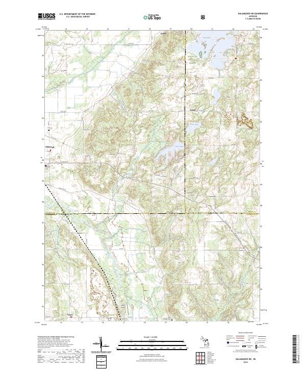
2023 Kalamazoo NE
Kalamazoo County, MI
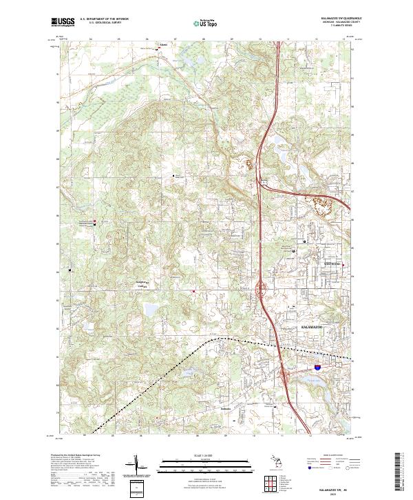
2023 Kalamazoo SW
Kalamazoo County, MI

2023 Schoolcraft NW
Kalamazoo County, MI
Featured Locations
- Battle Creek, MI
- Pavilion, Pavilion Township
- Climax, Climax Township
- Leonidas, Leonidas Township
- Mendon, Mendon Township