
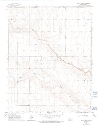
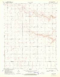
1965 Map of Leoti 3 NW
USGS Topo · Published 1967About this map
James Draw and Mattox Draw carve distinct drainage patterns across this western Kansas landscape, which was primarily organized under the township of West Hibbard in the mid-1960s. The terrain is characterized by a high-plains topography where ephemeral watercourses provide the only significant relief. Human presence is sparse and focused on ranching or resource extraction, evidenced by isolated features like the Fairview Cem near the northern boundary and scattered infrastructure such as a Drill Hole and a Well. These markings reflect a moment in time when land use remained heavily tied to the natural water features and the township survey lines of Townships 21 and 22 South.
Find a feature on this map
8 named features on this map. Tap any name to fly to it.
Don’t see what you’re looking for? This feature index may not catch every label — zoom into the map to look around manually.
Map Details
Editions of this 1965 Leoti 3 NW Map
2 editions found
Other maps of this area

1955 · Scott City
USGS Topo · 1:250,000

1958 · Scott City
USGS Topo · 1:250,000

1965 · Leoti 3 NE
USGS Topo · 1:24,000
1966 · Leoti 3 SW
USGS Topo · 1:24,000
1966 · Tribune 4 SE
USGS Topo · 1:24,000

1966 · Tribune 4 NE
USGS Topo · 1:24,000
1966 · Leoti 3 SE
USGS Topo · 1:24,000

1970 · Selkirk SE
USGS Topo · 1:24,000

1970 · Lydia
USGS Topo · 1:24,000
1970 · Leoti SW
USGS Topo · 1:24,000