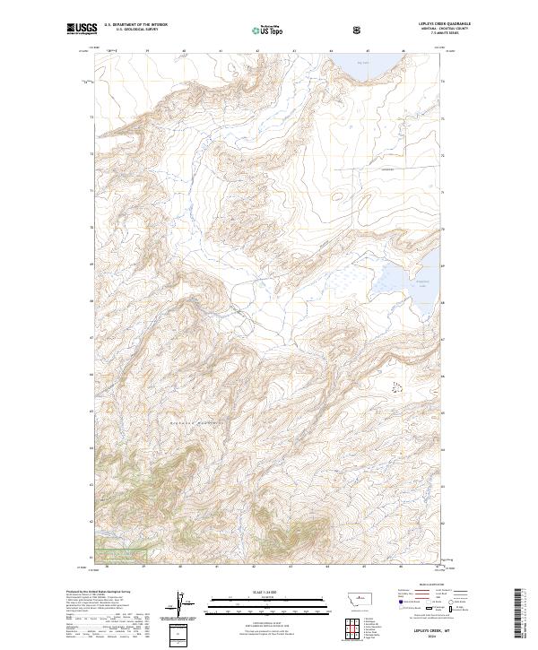
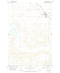
2024 Map of Lepleys Creek
USGS Topo · Published 2024About this map
The Highwood Mountains dominate the southern portion of this landscape, where the northern edge of the Lewis & Clark National Forest transitions into the high plains of Chouteau County. This 2024 map details a region defined by its critical water resources and ranching access, featuring the expansive Chouteau County Waterfowl Production Area and Kingsbury Lake in the eastern reach.
Find a feature on this map
19 named features on this map. Tap any name to fly to it.
Don’t see what you’re looking for? This feature index may not catch every label — zoom into the map to look around manually.
Map Details
Editions of this 2024 Lepleys Creek Map
This is the sole edition of this map. No revisions or reprints were ever made.
Other maps of this area

1890 · Fort Benton
USGS Topo · 1:250,000

1892 · Fort Benton
USGS Topo · 1:250,000

1897 · Fort Benton
USGS Topo · 1:250,000

1954 · Great Falls
USGS Topo · 1:250,000

1957 · Great Falls
USGS Topo · 1:250,000
1972 · Montague
USGS Topo · 1:24,000
1972 · Shonkin
USGS Topo · 1:24,000
1972 · Geraldine NE
USGS Topo · 1:24,000

1978 · Arrow Peak
USGS Topo · 1:24,000
1978 · Geraldine
USGS Topo · 1:24,000