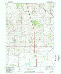
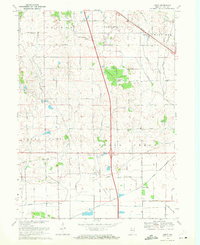
1969 Map of Leroy
USGS Topo · Published 1987About this map
The Pennsylvania railroad line cuts through the northeast corner of this Lake County landscape, serving the community of Leroy. This rural township is characterized by a network of drainage systems like Stony Run and Grisel Ditch, which support the agricultural tracts between Southeast Grove and Dinwiddie. Evidence of early settlement is found in several small groves that served as centers for local life, including Orchard Grove and Plum Grove.
Find a feature on this map
31 named features on this map. Tap any name to fly to it.
Don’t see what you’re looking for? This feature index may not catch every label — zoom into the map to look around manually.
Map Details
Editions of this 1969 Leroy Map
2 editions found
Other maps of this area

1953 · Leroy
USGS Topo · 1:24,000

1953 · St. John
USGS Topo · 1:24,000

1953 · Palmer
USGS Topo · 1:24,000

1953 · Crown Point
USGS Topo · 1:24,000

1953 · Hebron
USGS Topo · 1:24,000

1953 · Lowell
USGS Topo · 1:24,000

1953 · Chicago
USGS Topo · 1:250,000

1957 · Chicago
USGS Topo · 1:250,000

1957 · DeMotte
USGS Topo · 1:24,000

1959 · Schneider
USGS Topo · 1:24,000