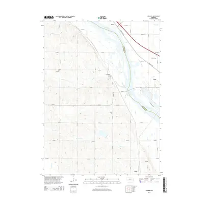
2014 Map of Leshara
USGS Topo · Published 2014About this map
The Platte River defines the landscape of this 2014 survey, carving a broad valley through the eastern Nebraska plains. Along its banks and nearby tributaries, the settlements of Valley and Leshara anchor a rural grid of county roads and family-owned lands. The region's history is preserved in several small burial grounds, including Little Flower Cem and Pleasant View Cem, which offer significant genealogical markers for local families.
Find a feature on this map
32 named features on this map. Tap any name to fly to it.
Don’t see what you’re looking for? This feature index may not catch every label — zoom into the map to look around manually.
Map Details
Editions of this 2014 Leshara Map
This is the sole edition of this map. No revisions or reprints were ever made.
Other maps of this area

1893 · Fremont
USGS Topo · 1:125,000

1896 · Fremont
USGS Topo · 1:125,000

1899 · Wahoo
USGS Topo · 1:125,000

1955 · Fremont
USGS Topo · 1:250,000

1957 · Fremont
USGS Topo · 1:250,000

1958 · Fremont
USGS Topo · 1:250,000

1968 · Valley
USGS Topo · 1:24,000

1968 · Leshara
USGS Topo · 1:24,000
1968 · Fremont West
USGS Topo · 1:24,000

1968 · Fremont East
USGS Topo · 1:24,000