Loading...
Loading map...1968 Map of Leshara
USGS Topo · Published 1983About this map
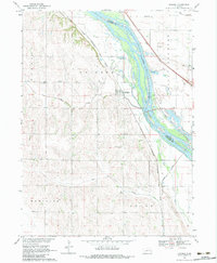
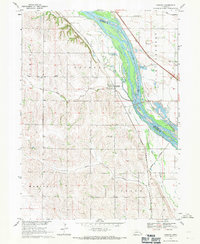
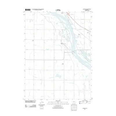
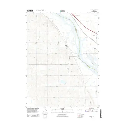
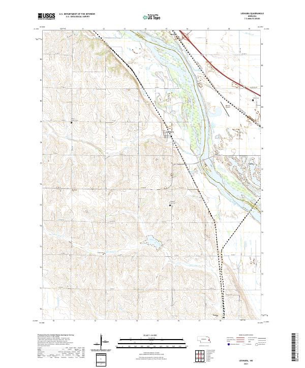
The braided channels of the Platte River dominate this landscape at the border of Douglas and Saunders Counties, where the wide river valley meets the upland bluffs of Pohocco. This 1960s survey illustrates the complex relationship between the waterway and regional infrastructure, showing how the Chicago Burlington and Quincy and Union Pacific railroads navigate the terrain. The settlement of Leshara sits on the western terrace, serving as a focal point for the surrounding agricultural townships of Marietta and Union.
Find a feature on this map
21 named features on this map. Tap any name to fly to it.
Don’t see what you’re looking for? This feature index may not catch every label — zoom into the map to look around manually.
Map Details
Date Portrayed1968
Date Published1983
PublisherU.S. Geological Survey
Map TypeTopographic
Scale1:24,000
Physical Dimensions22 x 26.7 inches
Editions of this 1968 Leshara Map
2 editions found
Historical Maps of Valley Through Time
5 maps found
Featured Locations
Source Details
SourceU.S. Geological Survey
CopyrightPublic Domain